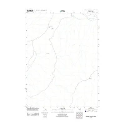
2012 Map of Ninemile Mountain NE
USGS Topo · Published 2012About this map
Thousand Springs Creek flows through this northeastern corner of Elko County, marking a vital water source in an otherwise arid drainage basin. The landscape is defined by long-distance water courses and high-desert terrain features, such as the expansive Twentyone Mile Draw and Twelvemile Canyon. These features suggest a topography of significant elevation changes and seasonal water movements typical of the Great Basin. Access to this remote area is provided by Co HWY 765, which cuts across the northern edge of the map. While largely devoid of permanent settlements, the naming of features like Coin Canyon and Rocky Butte provides specific points of reference for researchers tracking historical land use or topographic change in this section of Nevada.
Find a feature on this map
6 named features on this map. Tap any name to fly to it.
Don’t see what you’re looking for? This feature index may not catch every label — zoom into the map to look around manually.
Map Details
Editions of this 2012 Ninemile Mountain NE Map
This is the sole edition of this map. No revisions or reprints were ever made.
Other maps of this area

1955 · Wells
USGS Topo · 1:250,000

1958 · Wells
USGS Topo · 1:250,000

1961 · Wells
USGS Topo · 1:250,000

1961 · Delano Mountains
USGS Topo · 1:62,500

1961 · Dairy Valley
USGS Topo · 1:62,500

1967 · Montello Canyon
USGS Topo · 1:24,000

1967 · Twelvemile Ranch
USGS Topo · 1:24,000

1967 · Montello
USGS Topo · 1:24,000

1967 · Ninemile Mtn NE
USGS Topo · 1:24,000

1967 · Ninemile Mtn SW
USGS Topo · 1:24,000