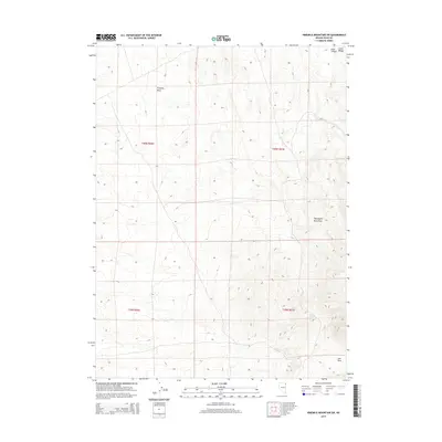
2014 Map of Ninemile Mountain SW
USGS Topo · Published 2014About this map
The Leach Range dominates the northeastern corner of this Elko County landscape, where the high desert terrain transitions through complex elevation changes. Significant geographic markers like Ives Pass in the southeast provide transit points through the arid hills, while Kane Canyon carves a distinct path into the northern mountains. This region is characterized by its vital water sources in a dry environment, notably North Spring and Lewis Spring, which are essential landmarks for understanding historical land use and livestock movement in the Great Basin.
Find a feature on this map
11 named features on this map. Tap any name to fly to it.
Don’t see what you’re looking for? This feature index may not catch every label — zoom into the map to look around manually.
Map Details
Editions of this 2014 Ninemile Mountain SW Map
This is the sole edition of this map. No revisions or reprints were ever made.
Other maps of this area

1955 · Wells
USGS Topo · 1:250,000

1958 · Wells
USGS Topo · 1:250,000

1961 · Wells
USGS Topo · 1:250,000

1967 · Valley Pass
USGS Topo · 1:24,000

1967 · Loray
USGS Topo · 1:24,000

1967 · Montello Canyon
USGS Topo · 1:24,000

1967 · Ninemile Mtn NE
USGS Topo · 1:24,000

1967 · Ninemile Mtn SW
USGS Topo · 1:24,000

1967 · Ninemile Mtn
USGS Topo · 1:24,000

1968 · Pequop
USGS Topo · 1:24,000