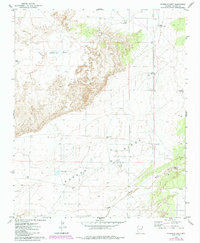
1974 Map of Ninemile Seep
USGS Topo · Published 1984About this map
Ninemile Seep stands as a vital water source in this arid corner of Apache County, situated near the northern edge of the Navajo lands. The landscape is defined by its intermittent drainage systems and essential range improvements, including a network of isolated wells and tanks such as Reese Tank and Rock Tank. These features suggest a landscape managed for livestock grazing, where every water point like West Ninemile Well and East Ninemile Well marks a critical node in the local ranching geography.
Find a feature on this map
17 named features on this map. Tap any name to fly to it.
Don’t see what you’re looking for? This feature index may not catch every label — zoom into the map to look around manually.
Map Details
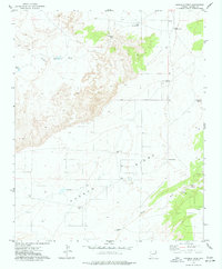
Editions of this 1974 Ninemile Seep Map
2 editions found
Other maps of this area

1886 · St Johns
USGS Topo · 1:250,000

1886 · Fort Defiance
USGS Topo · 1:250,000

1892 · Fort Defiance
USGS Topo · 1:250,000

1892 · St Johns
USGS Topo · 1:250,000

1954 · Saint Johns
USGS Topo · 1:250,000

1954 · Gallup
USGS Topo · 1:250,000

1955 · Adamana 1 SW
USGS Topo · 1:24,000

1956 · Adamana 1 NW
USGS Topo · 1:24,000

1957 · Saint Johns
USGS Topo · 1:250,000

1958 · Gallup
USGS Topo · 1:250,000