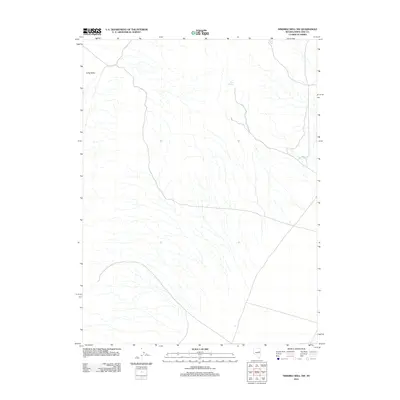
2012 Map of Ninemile Well NW
USGS Topo · Published 2012About this map
Long Valley dominates the western portion of this high-desert landscape in White Pine County. This 2012 United States Geological Survey edition highlights the essential water sources that have historically supported life in this arid basin-and-range environment. Small, localized features such as Willow Spring and Pony Springs are critical landmarks in a region defined by its seasonal drainage patterns and sparse vegetation. The arrangement of these perennial and intermittent water points provides an look at how water accessibility influenced navigation and land use throughout the rural Nevada interior.
Find a feature on this map
3 named features on this map. Tap any name to fly to it.
Don’t see what you’re looking for? This feature index may not catch every label — zoom into the map to look around manually.
Map Details
Editions of this 2012 Ninemile Well NW Map
This is the sole edition of this map. No revisions or reprints were ever made.
Other maps of this area

1955 · Elko
USGS Topo · 1:250,000

1956 · Ely
USGS Topo · 1:250,000

1958 · Elko
USGS Topo · 1:250,000

1959 · Ely
USGS Topo · 1:250,000

1962 · Elko
USGS Topo · 1:250,000

1963 · Ely
USGS Topo · 1:250,000

1965 · Elko
USGS Topo · 1:250,000
1968 · Ruby Lake SE
USGS Topo · 1:24,000

1982 · Ninemile Well
USGS Topo · 1:24,000
1982 · Junction Well
USGS Topo · 1:24,000