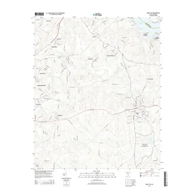
2014 Map of Ninety Six
USGS Topo · Published 2014About this map
The Ninety Six National Historic Site preserves a crucial landscape of the American Revolution, anchored by the star-shaped earthworks reflected in the name of Star Fort Pond. This 2014 survey captures the township of Ninety Six and its surrounding rural topography, where the land transitions from the historic fortifications toward modern residential developments like Fairforest and Magnolia Place. The drainage network, including Wilson Creek and Henley Cr, dictates the placement of long-standing crossroads and more recent settlements.
Find a feature on this map
144 named features on this map. Tap any name to fly to it.
Don’t see what you’re looking for? This feature index may not catch every label — zoom into the map to look around manually.
Map Details
Editions of this 2014 Ninety Six Map
This is the sole edition of this map. No revisions or reprints were ever made.
Other maps of this area

1892 · Abbeville
USGS Topo · 1:125,000

1908 · Kirksey
USGS Topo · 1:24,000

1941 · Spartanburg
USGS Topo · 1:250,000

1949 · Ninety-Six
USGS Topo · 1:24,000

1949 · Greenwood
USGS Topo · 1:24,000

1950 · Bradley
USGS Topo · 1:24,000

1950 · Kirksey
USGS Topo · 1:24,000

1953 · Spartanburg
USGS Topo · 1:250,000

1954 · Greenville
USGS Topo · 1:250,000

1958 · Greenville
USGS Topo · 1:250,000