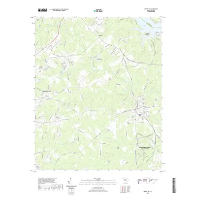
2020 Map of Ninety Six
USGS Topo · Published 2020About this map
The Ninety Six National Historic Site anchors the southeastern landscape of this South Carolina study, preserving the grounds of a colonial-era trading post and Revolutionary War fortifications. The settlement of Ninety Six sits adjacent to the park, while the larger city of Greenwood develops to the west, home to Piedmont Technical College. This modern survey illustrates a transition from the dense urban and residential layout of Pinehurst to the more rural, creek-carved terrain of the surrounding Piedmont.
Find a feature on this map
111 named features on this map. Tap any name to fly to it.
Don’t see what you’re looking for? This feature index may not catch every label — zoom into the map to look around manually.
Map Details
Editions of this 2020 Ninety Six Map
This is the sole edition of this map. No revisions or reprints were ever made.
Other maps of this area

1892 · Abbeville
USGS Topo · 1:125,000

1908 · Kirksey
USGS Topo · 1:24,000

1941 · Spartanburg
USGS Topo · 1:250,000

1949 · Ninety-Six
USGS Topo · 1:24,000

1949 · Greenwood
USGS Topo · 1:24,000

1950 · Bradley
USGS Topo · 1:24,000

1950 · Kirksey
USGS Topo · 1:24,000

1953 · Spartanburg
USGS Topo · 1:250,000

1954 · Greenville
USGS Topo · 1:250,000

1958 · Greenville
USGS Topo · 1:250,000