2024 Map of Ninety Six
USGS Topo · Published 2024About this map
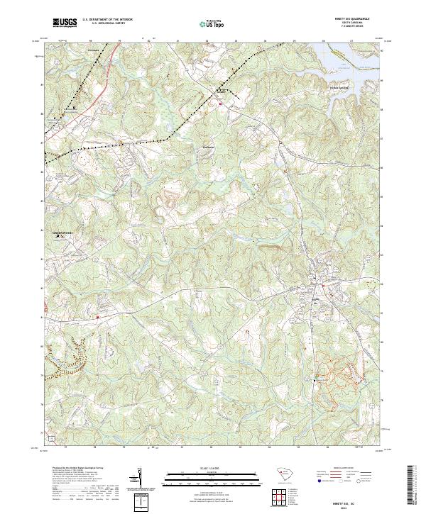
Ninety Six National Historic Site anchors the southeastern portion of this landscape, preserving the grounds of a pivotal Revolutionary War outpost. The modern town of Ninety Six sits nearby, serving as a hub for local transportation routes that cross the numerous waterways feeding into the Saluda River. The topography is defined by these drainages, including Brightmans Creek and Wilson Creek, which carve through the terrain toward Lake Greenwood at the northern edge. Historical sites for researchers include the Rock Presbyterian Church Graveyard and Springfield Baptist Church Graveyard, alongside several family-named landmarks like Mayson Graves. Further north, settlements such as Coronaca, Saluca, and Pinehurst illustrate the residential development surrounding the regional center at Greenwood, where Piedmont Technical College is established near the western margin.
Find a feature on this map
158 named features on this map. Tap any name to fly to it.
Don’t see what you’re looking for? This feature index may not catch every label — zoom into the map to look around manually.
Map Details
Editions of this 2024 Ninety Six Map
This is the sole edition of this map. No revisions or reprints were ever made.
Historical Maps of Raintree Through Time
1 maps found