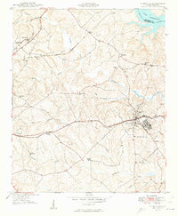
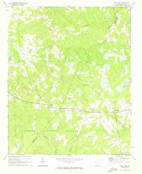
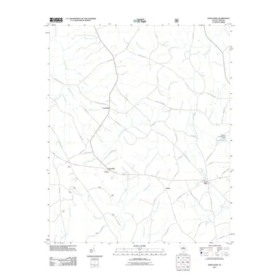
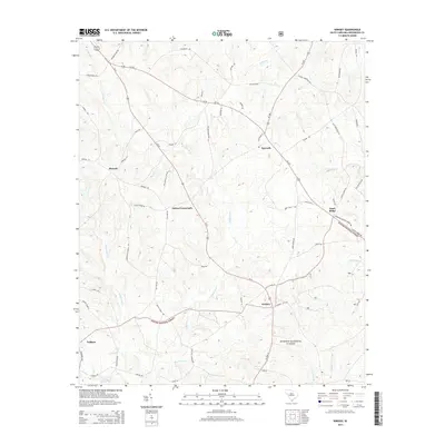
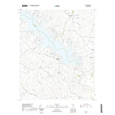
1949 Map of Ninety-Six
USGS Topo · Published 1949About this map
The historical Site of Old Star Fort anchors the southeast portion of this landscape, marking the significant Revolutionary War heritage of the Ninety-Six area. In the late 1940s, this region of Greenwood County was a busy crossroads of rail transportation, where the Southern, Seaboard Air Line, and Charleston and Western Carolina railroads converged near the town center. The rural character of the backcountry is defined by numerous community institutions like Marshall Chapel, Ebenezer Ch, and the Youngs Chapel Sch, which served the scattered farmsteads.
Find a feature on this map
32 named features on this map. Tap any name to fly to it.
Don’t see what you’re looking for? This feature index may not catch every label — zoom into the map to look around manually.
Map Details
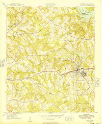
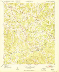
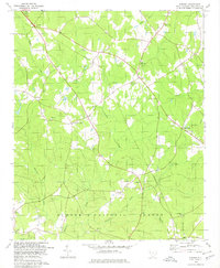
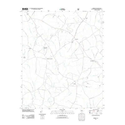
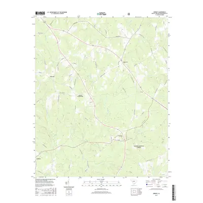
Editions of this 1949 Ninety-Six Map
2 editions found
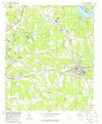
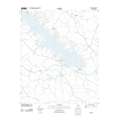
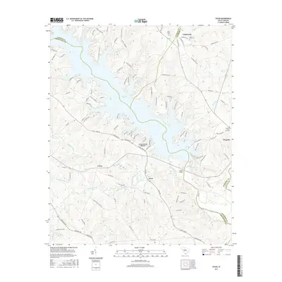
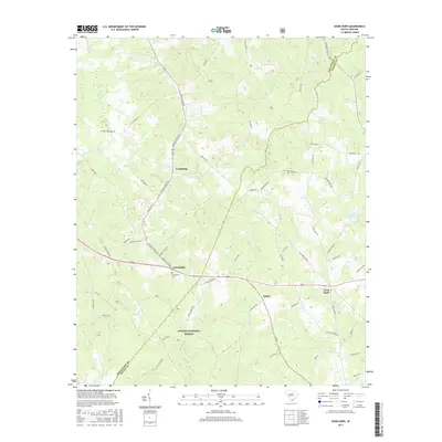
Historical Maps of Greenwood Through Time
22 maps found

1908 Kirksey
Greenwood County, SC
1949 Ninety-Six
Greenwood County, SC
1950 Kirksey
Greenwood County, SC
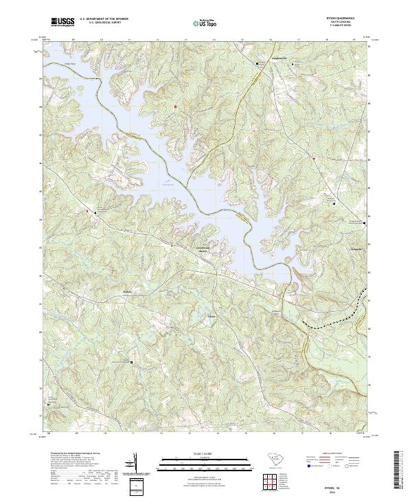
1971 Dyson
Greenwood County, SC
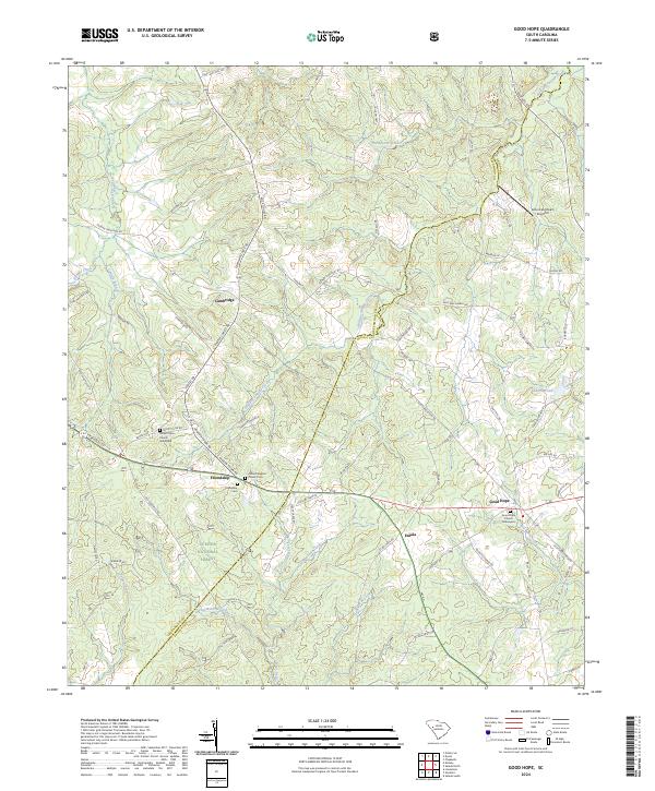
1971 Good Hope
Greenwood County, SC
1978 Kirksey
Greenwood County, SC
1978 Ninety-Six
Greenwood County, SC
2011 Dyson
Greenwood County, SC
2011 Good Hope
Greenwood County, SC
2011 Kirksey
Greenwood County, SC
2014 Dyson
Greenwood County, SC
2014 Good Hope
Greenwood County, SC
2014 Kirksey
Greenwood County, SC
2017 Dyson
Greenwood County, SC
2017 Good Hope
Greenwood County, SC
2017 Kirksey
Greenwood County, SC
2020 Dyson
Greenwood County, SC
2020 Good Hope
Greenwood County, SC
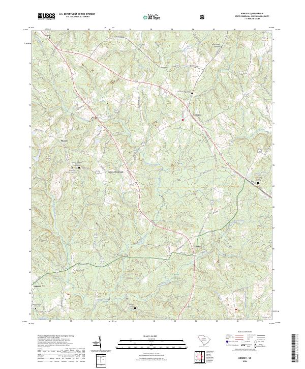
2020 Kirksey
Greenwood County, SC
2024 Dyson
Greenwood County, SC
2024 Good Hope
Greenwood County, SC
2024 Kirksey
Greenwood County, SC