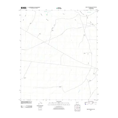
2010 Map of Ninetysix Ranch
USGS Topo · Published 2010About this map
Langford Mountains anchor this arid New Mexico landscape, which is defined by the vital infrastructure of cattle ranching and historical transit. The map traces the legendary path of the Butterfield Trl, a historic stagecoach and mail route cutting across the desert terrain. Water, the region’s most precious resource, is marked by numerous named windmills and tanks including Snaky Windmill, Hideout Windmill, and Glaze Tank. These features, along with the Ninetysix Ranch itself, reflect the enduring reliance on groundwater to sustain livestock across the wide draws and canyons. Modern routes like Separ Rd and Gage Rd now provide access to these remote ranchlands, following the natural drainage patterns of Ninetysix Creek and Smith Draw.
Find a feature on this map
23 named features on this map. Tap any name to fly to it.
Don’t see what you’re looking for? This feature index may not catch every label — zoom into the map to look around manually.
Map Details
Editions of this 2010 Ninetysix Ranch Map
This is the sole edition of this map. No revisions or reprints were ever made.
Other maps of this area

1954 · Silver City
USGS Topo · 1:250,000

1958 · Silver City
USGS Topo · 1:250,000

1962 · Silver City
USGS Topo · 1:250,000

1962 · Ninetysix Ranch
USGS Topo · 1:24,000

1962 · Lisbon
USGS Topo · 1:24,000

1963 · Gold Hill
USGS Topo · 1:24,000

1963 · Soldiers Farewell Hill
USGS Topo · 1:24,000
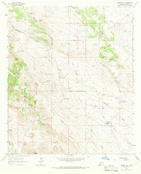
1963 · Werney Hill
USGS Topo · 1:24,000
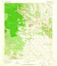
1963 · C Bar Ranch
USGS Topo · 1:24,000

1964 · Muir Ranch
USGS Topo · 1:24,000