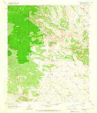
1963 Map of C Bar Ranch
USGS Topo · Published 1966About this map
Continental Divide crests the high country of Grant County on this 1960s survey, where ranching operations are defined by an intricate network of windmills and water tanks. The Gila National Forest covers much of the western terrain, including Whitetop Hill and the plateau of Werney Flat. This landscape is fundamentally shaped by the search for water, evidenced by the numerous specialized features like Whitetop Windmill, Seep Tank, and Glaze Reservoir.
Find a feature on this map
49 named features on this map. Tap any name to fly to it.
Don’t see what you’re looking for? This feature index may not catch every label — zoom into the map to look around manually.
Map Details
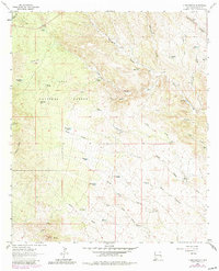
Editions of this 1963 C Bar Ranch Map
2 editions found
Other maps of this area

1909 · Silver City
USGS Topo · 1:125,000

1950 · White Signal
USGS Topo · 1:24,000

1950 · Burro Peak
USGS Topo · 1:24,000

1951 · White Signal
USGS Topo · 1:24,000

1951 · Big Burro Mountains
USGS Topo · 1:24,000

1954 · Silver City
USGS Topo · 1:250,000

1958 · Silver City
USGS Topo · 1:250,000

1959 · Redrock
USGS Topo · 1:62,500

1962 · Silver City
USGS Topo · 1:250,000

1962 · Ninetysix Ranch
USGS Topo · 1:24,000