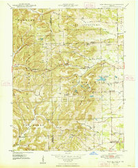
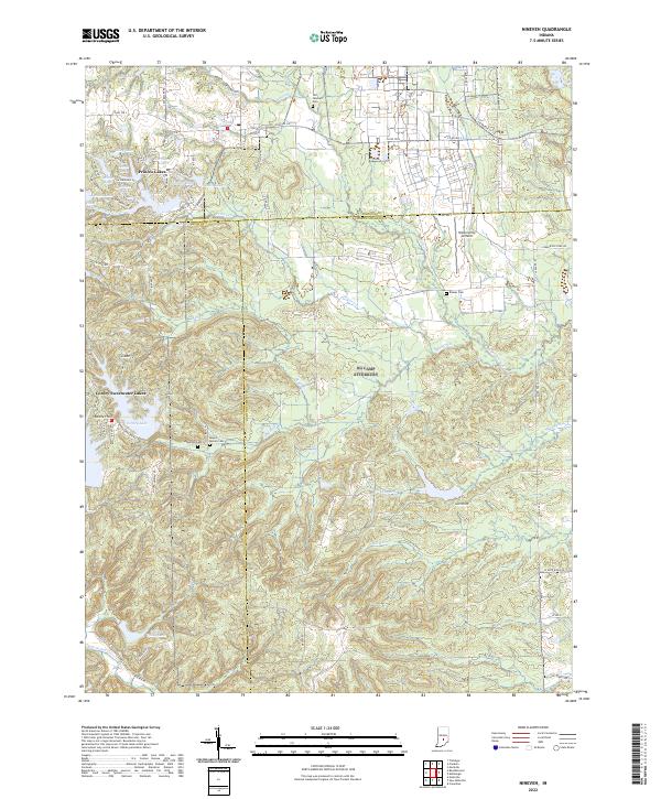
1948 Map of Nineveh
USGS Topo · Published 1948About this map
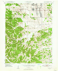
Camp Atterbury Military Reservation dominates this landscape shortly after World War II, revealing the extensive infrastructure of a mobilized military installation. The northern portion of the map is densely built out with barracks, depots, and medical facilities, including Wakeman Hospital and the notable Prisoner-of-War Cem. The southern half transitions into more varied topography, with drainage like Nineveh Creek and Mud Creek cutting through the hills toward Sugar Creek.
Find a feature on this map
46 named features on this map. Tap any name to fly to it.
Don’t see what you’re looking for? This feature index may not catch every label — zoom into the map to look around manually.
Map Details
Editions of this 1948 Nineveh Map
3 editions found
Historical Maps of Nineveh Through Time
23 maps found
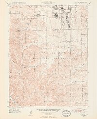
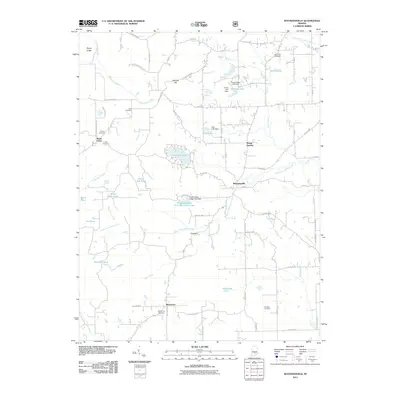
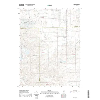
1948 Edinburg
Bartholomew County, IN
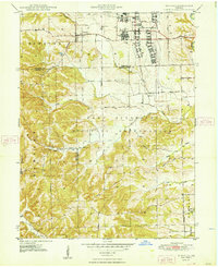
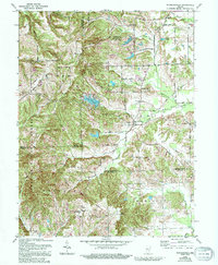
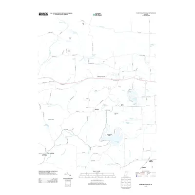
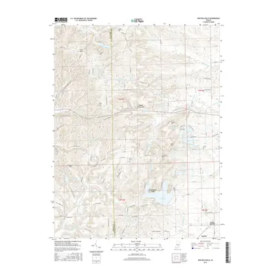
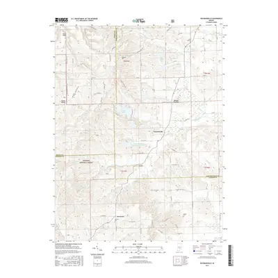
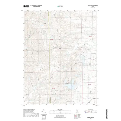
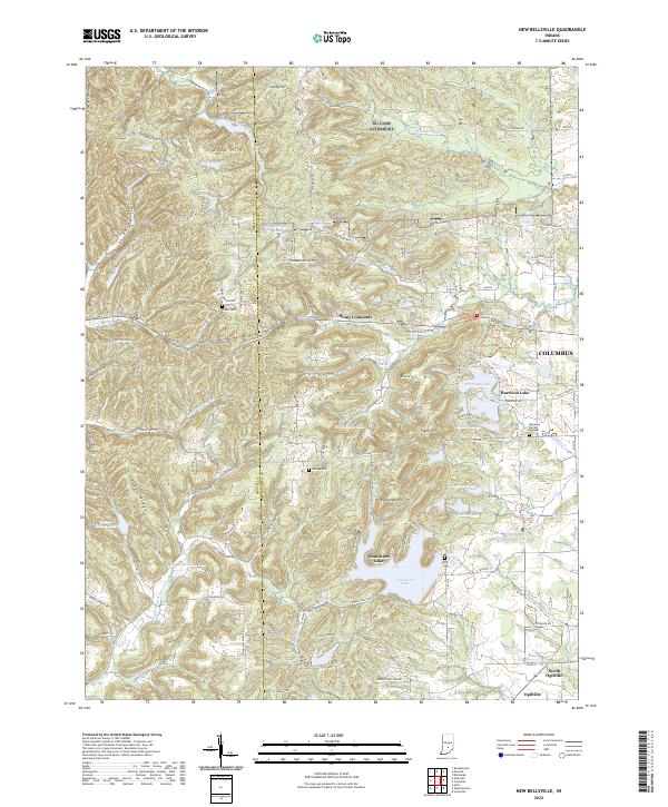
1948 New Bellsville
Bartholomew County, IN
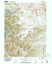
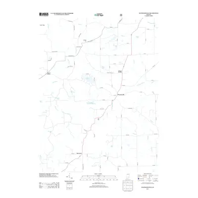
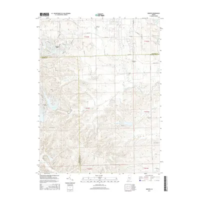
1948 Nineveh
Bartholomew County, IN
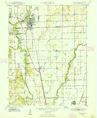
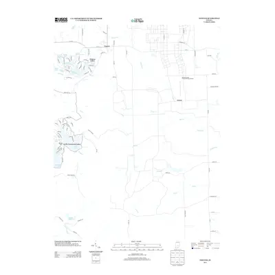
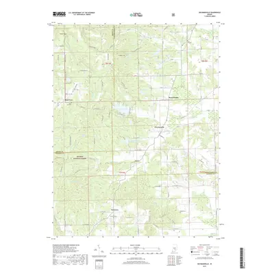
1948 Waymansville
Bartholomew County, IN
1962 New Bellsville
Bartholomew County, IN
1962 Nineveh
Bartholomew County, IN
1962 Waymansville
Bartholomew County, IN
1998 Nineveh
Bartholomew County, IN
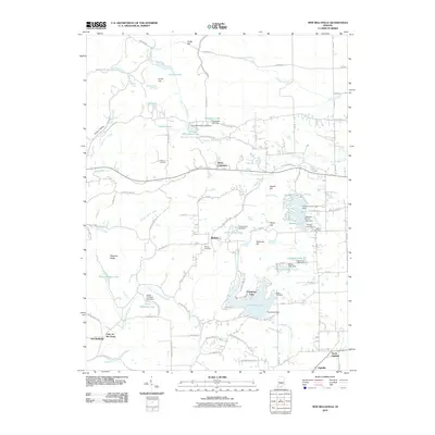
2010 New Bellsville
Bartholomew County, IN
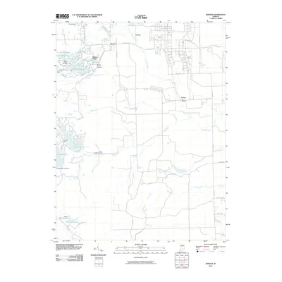
2010 Nineveh
Bartholomew County, IN
2011 Waymansville
Bartholomew County, IN
2013 New Bellsville
Bartholomew County, IN
2013 Nineveh
Bartholomew County, IN
2013 Waymansville
Bartholomew County, IN
2016 New Bellsville
Bartholomew County, IN
2016 Nineveh
Bartholomew County, IN
2016 Waymansville
Bartholomew County, IN
2019 New Bellsville
Bartholomew County, IN
2019 Nineveh
Bartholomew County, IN
2019 Waymansville
Bartholomew County, IN
2022 New Bellsville
Bartholomew County, IN
2022 Nineveh
Bartholomew County, IN
2022 Waymansville
Bartholomew County, IN