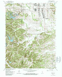
1962 Map of Nineveh
USGS Topo · Published 1987About this map
Camp Atterbury Military Reservation dominates the central landscape of this 1962 revision, revealing the extensive infrastructure of the mid-century military training grounds. A poignant piece of wartime history is preserved here, specifically the German POW Camp and a dedicated Prisoner of War Cem located north of the U S Army Hospital. These markers document a specific era when international military history intersected with the rural Indiana countryside.
Find a feature on this map
47 named features on this map. Tap any name to fly to it.
Don’t see what you’re looking for? This feature index may not catch every label — zoom into the map to look around manually.
Map Details
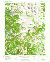
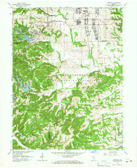
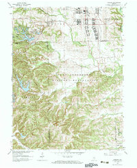
Editions of this 1962 Nineveh Map
4 editions found
Other maps of this area

1942 · Franklin
USGS Topo · 1:125,000

1942 · Columbus
USGS Topo · 1:125,000

1947 · Nashville
USGS Topo · 1:24,000

1947 · Franklin
USGS Topo · 1:62,500

1948 · Franklin
USGS Topo · 1:24,000

1948 · Edinburg
USGS Topo · 1:24,000

1948 · New Bellsville
USGS Topo · 1:24,000

1948 · Trafalgar
USGS Topo · 1:24,000

1948 · Nineveh
USGS Topo · 1:24,000

1948 · Marietta
USGS Topo · 1:24,000