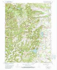
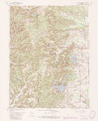
1962 Map of New Bellsville
USGS Topo · Published 1988About this map
The Brown Co Bartholomew Co boundary divides this landscape, where the wooded ridges of the Hoosier National Forest meet the expanding recreational and military footprints of the mid-20th century. High points like Guffy Hill and Stony Lonesome overlook a terrain defined by new hydraulic developments, including the large Grandview Lake and the residential clusters surrounding Harrison Lake. To the north, the sprawling Camp Atterbury Military Reservation occupies a significant portion of the hill country, contrasting with the quiet rural crossroads of New Bellsville and Ogilville.
Find a feature on this map
45 named features on this map. Tap any name to fly to it.
Don’t see what you’re looking for? This feature index may not catch every label — zoom into the map to look around manually.
Map Details
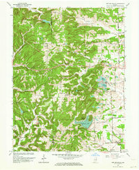
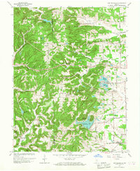
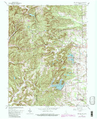
Editions of this 1962 New Bellsville Map
5 editions found
Other maps of this area

1942 · Franklin
USGS Topo · 1:125,000

1942 · Columbus
USGS Topo · 1:125,000

1947 · Nashville
USGS Topo · 1:24,000

1947 · Franklin
USGS Topo · 1:62,500

1948 · Edinburg
USGS Topo · 1:24,000

1948 · New Bellsville
USGS Topo · 1:24,000

1948 · Waymansville
USGS Topo · 1:24,000

1948 · Nineveh
USGS Topo · 1:24,000

1948 · Fruitdale
USGS Topo · 1:24,000

1949 · Nashville
USGS Topo · 1:24,000