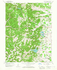
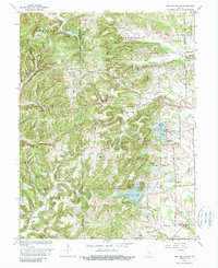
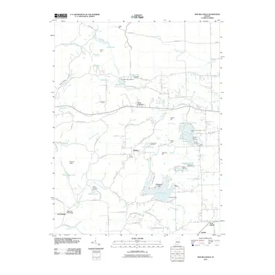
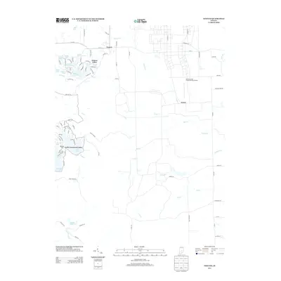
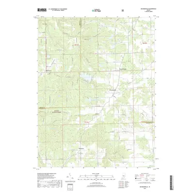
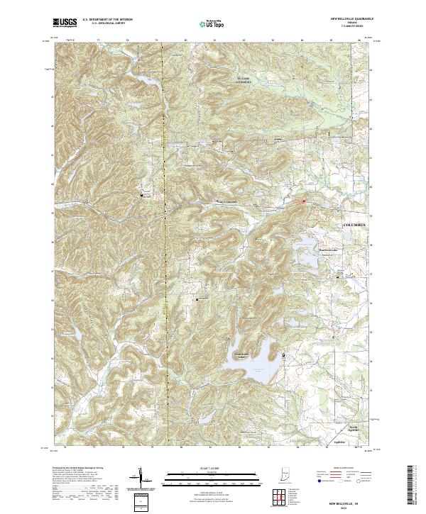
1962 Map of New Bellsville
USGS Topo · Published 1967About this map
Camp Atterbury Military Reservation dominates the northern reaches of this landscape, established on the undulating terrain of Bartholomew County. The area is characterized by a high density of small private lakes and reservoirs, including Grandview Lake, Harrison Lake, and Lawsons Lake, which supported growing recreational and residential developments such as the Harrison Lake Country Club. Smaller, distinct settlements like Stony Lonesome and Ogilville are connected by a network of ridge-top and valley roads, including Georgetown Road and Fourmile Ridge Road.
Find a feature on this map
59 named features on this map. Tap any name to fly to it.
Don’t see what you’re looking for? This feature index may not catch every label — zoom into the map to look around manually.
Map Details
Editions of this 1962 New Bellsville Map
5 editions found
Historical Maps of Columbus Through Time
23 maps found
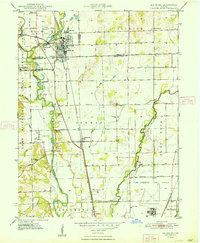
1948 Edinburg
Bartholomew County, IN
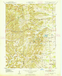
1948 New Bellsville
Bartholomew County, IN
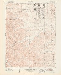
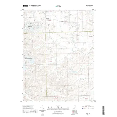
1948 Nineveh
Bartholomew County, IN
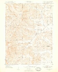
1948 Waymansville
Bartholomew County, IN
1962 New Bellsville
Bartholomew County, IN
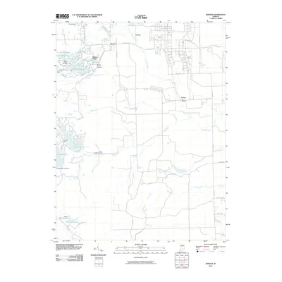
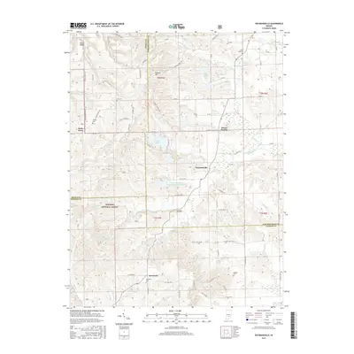
1962 Nineveh
Bartholomew County, IN
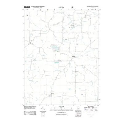
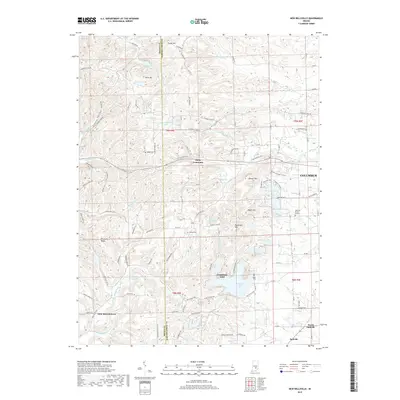
1962 Waymansville
Bartholomew County, IN
1998 Nineveh
Bartholomew County, IN
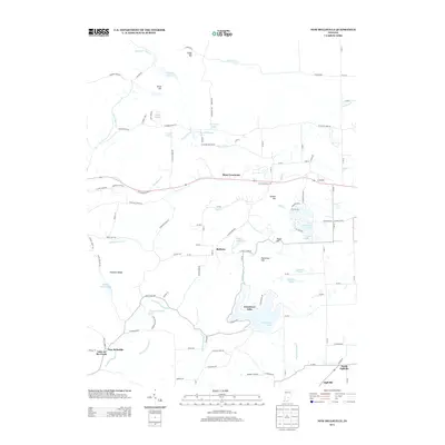
2010 New Bellsville
Bartholomew County, IN
2010 Nineveh
Bartholomew County, IN
2011 Waymansville
Bartholomew County, IN
2013 New Bellsville
Bartholomew County, IN
2013 Nineveh
Bartholomew County, IN
2013 Waymansville
Bartholomew County, IN
2016 New Bellsville
Bartholomew County, IN
2016 Nineveh
Bartholomew County, IN
2016 Waymansville
Bartholomew County, IN
2019 New Bellsville
Bartholomew County, IN
2019 Nineveh
Bartholomew County, IN
2019 Waymansville
Bartholomew County, IN
2022 New Bellsville
Bartholomew County, IN
2022 Nineveh
Bartholomew County, IN
2022 Waymansville
Bartholomew County, IN