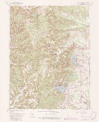
1962 Map of New Bellsville
USGS Topo · Published 1988About this map
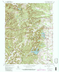
New Bellsville and the surrounding borderlands of Brown Co and Bartholomew Co are defined by a complex network of man-made reservoirs and ridge-line roads. The eastern portion of the map is dominated by a chain of water bodies, including North Harrison Lake, Harrison Lake, and South Harrison Lake, adjacent to the Harrison Lake Country Club. This suburban and recreational development contrasts with the northern landscape, where the Camp Atterbury Military Reservation occupies a large tract of land north of Catherine Creek.
Find a feature on this map
47 named features on this map. Tap any name to fly to it.
Don’t see what you’re looking for? This feature index may not catch every label — zoom into the map to look around manually.
Map Details
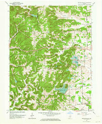
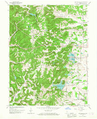
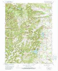
Editions of this 1962 New Bellsville Map
5 editions found
Other maps of this area

1942 · Franklin
USGS Topo · 1:125,000

1942 · Columbus
USGS Topo · 1:125,000

1947 · Nashville
USGS Topo · 1:24,000

1947 · Franklin
USGS Topo · 1:62,500

1948 · Edinburg
USGS Topo · 1:24,000

1948 · New Bellsville
USGS Topo · 1:24,000

1948 · Waymansville
USGS Topo · 1:24,000

1948 · Nineveh
USGS Topo · 1:24,000

1948 · Fruitdale
USGS Topo · 1:24,000

1949 · Nashville
USGS Topo · 1:24,000