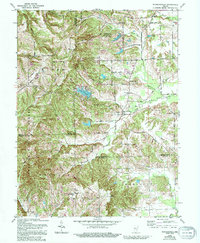
1962 Map of Waymansville
USGS Topo · Published 1996About this map
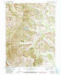
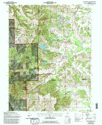
Waymansville and the surrounding rural communities of Mt Healthy and Becks Grove sit at a convergence of several township and county boundaries, including the line where Brown Co Jackson Co meets Bartholomew Co Jackson Co. The landscape is deeply dissected by the South Fork Salt Creek and White Creek, creating a network of ridges and valleys that define local land use. Conservation areas dominate the northern and western sections of the map, including portions of the Hoosier National Forest and the Grouse Ridge State Fish And Wildlife Area.
Find a feature on this map
35 named features on this map. Tap any name to fly to it.
Don’t see what you’re looking for? This feature index may not catch every label — zoom into the map to look around manually.
Map Details
Editions of this 1962 Waymansville Map
6 editions found
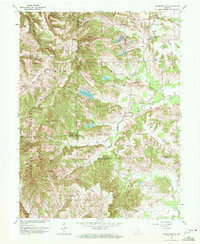
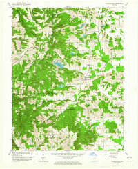
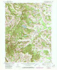
Other maps of this area

1942 · Franklin
USGS Topo · 1:125,000

1942 · Columbus
USGS Topo · 1:125,000

1947 · Nashville
USGS Topo · 1:24,000

1948 · New Bellsville
USGS Topo · 1:24,000

1948 · Waymansville
USGS Topo · 1:24,000

1949 · Nashville
USGS Topo · 1:24,000

1953 · Cincinnati
USGS Topo · 1:250,000

1953 · Indianapolis
USGS Topo · 1:250,000

1956 · Indianapolis
USGS Topo · 1:250,000

1956 · Story
USGS Topo · 1:24,000