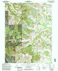
1962 Map of Waymansville
USGS Topo · Published 1994About this map
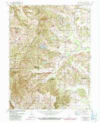
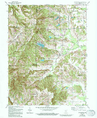
Waymansville and Spraytown anchor this mid-century look at the tri-county borderlands where Bartholomew, Jackson, and Brown counties meet. The landscape is defined by the headwaters of the East Fork White Creek and its various tributaries, which carve through the high ground of Poplar Ridge and Gilmore Hill. Much of the western half is dedicated to the Hoosier National Forest, showing the shift toward conservation and public land management in the mid-1900s.
Find a feature on this map
40 named features on this map. Tap any name to fly to it.
Don’t see what you’re looking for? This feature index may not catch every label — zoom into the map to look around manually.
Map Details
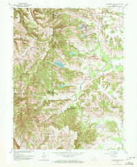
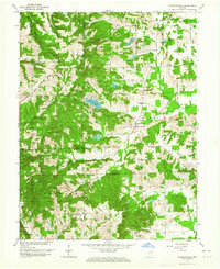
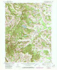
Editions of this 1962 Waymansville Map
6 editions found
Other maps of this area

1942 · Franklin
USGS Topo · 1:125,000

1942 · Columbus
USGS Topo · 1:125,000

1947 · Nashville
USGS Topo · 1:24,000

1948 · New Bellsville
USGS Topo · 1:24,000

1948 · Waymansville
USGS Topo · 1:24,000

1949 · Nashville
USGS Topo · 1:24,000

1953 · Cincinnati
USGS Topo · 1:250,000

1953 · Indianapolis
USGS Topo · 1:250,000

1956 · Indianapolis
USGS Topo · 1:250,000

1956 · Story
USGS Topo · 1:24,000