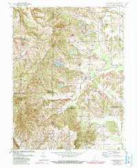
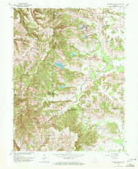
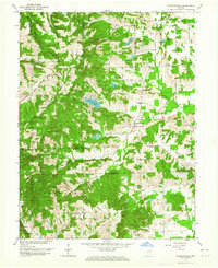
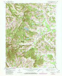
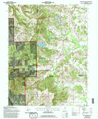
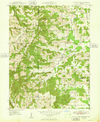
1962 Map of Waymansville
USGS Topo · Published 1984About this map
Waymansville and the surrounding borderlands of Bartholomew, Brown, and Jackson Counties reveal a mid-century rural landscape defined by narrow creek valleys and established country parishes. The topography is dominated by the steep slopes of Poplar Ridge and Gilmore Hill, where the Hoosier National Forest boundary marks a shift from cultivated land to timbered terrain. Small religious and educational hubs anchor the community, including St Peters Ch near the town center and the Township Sch to the north.
Find a feature on this map
51 named features on this map. Tap any name to fly to it.
Don’t see what you’re looking for? This feature index may not catch every label — zoom into the map to look around manually.
Map Details
Editions of this 1962 Waymansville Map
6 editions found
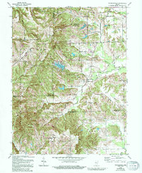
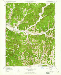
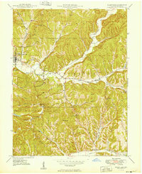
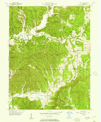
Other maps of this area

1942 · Franklin
USGS Topo · 1:125,000

1942 · Columbus
USGS Topo · 1:125,000
1947 · Nashville
USGS Topo · 1:24,000
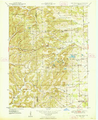
1948 · New Bellsville
USGS Topo · 1:24,000
1948 · Waymansville
USGS Topo · 1:24,000
1949 · Nashville
USGS Topo · 1:24,000

1953 · Cincinnati
USGS Topo · 1:250,000

1953 · Indianapolis
USGS Topo · 1:250,000

1956 · Indianapolis
USGS Topo · 1:250,000
1956 · Story
USGS Topo · 1:24,000