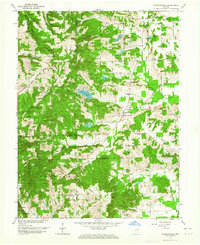
1962 Map of Waymansville
USGS Topo · Published 1972About this map
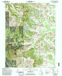
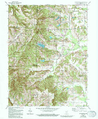
Waymansville and Mt Healthy anchor this rural landscape in the early 1960s, a period where traditional agricultural life persisted alongside the expansion of the Hoosier National Forest. The map reveals a dense network of country cemeteries and churches that speak to the deep genealogical roots of the area, including St Paul Cem (Orville Ch), St Peters Cem, and the secluded White Chapel. Waterways like the East Fork White Creek and Salt Creek define the drainage patterns, while the development of Lutheran Lake and Noblitt Lake suggests the emergence of local recreation sites. The terrain is marked by family-named landmarks like Gilmore Hill and Dog Hill, and the presence of a pipeline and numerous numbered county roads, such as 800 South Road, illustrates the intersection of modern infrastructure with historic hamlets like Becks Grove and Spraytown.
Find a feature on this map
52 named features on this map. Tap any name to fly to it.
Don’t see what you’re looking for? This feature index may not catch every label — zoom into the map to look around manually.
Map Details
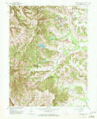
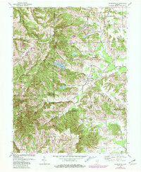
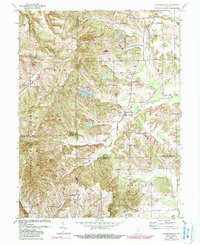
Editions of this 1962 Waymansville Map
6 editions found
Other maps of this area

1942 · Franklin
USGS Topo · 1:125,000

1942 · Columbus
USGS Topo · 1:125,000

1947 · Nashville
USGS Topo · 1:24,000

1948 · New Bellsville
USGS Topo · 1:24,000

1948 · Waymansville
USGS Topo · 1:24,000

1949 · Nashville
USGS Topo · 1:24,000

1953 · Cincinnati
USGS Topo · 1:250,000

1953 · Indianapolis
USGS Topo · 1:250,000

1956 · Indianapolis
USGS Topo · 1:250,000

1956 · Story
USGS Topo · 1:24,000