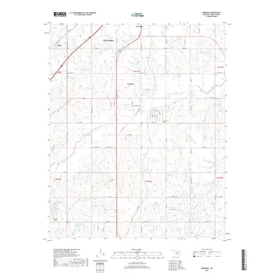
2018 Map of Ninnekah
USGS Topo · Published 2018About this map
The Little Washita River and its numerous flood-control reservoirs dominate this Grady County landscape, illustrating a modern period of water management and agricultural stability. The settlement of Ninnekah serves as the local hub, connected to the surrounding countryside by Old US Hwy 81 and a grid of rural roads like Old Fred's Rd and Half Penny Rd. To the northwest, the small community of Norge sits at the edge of the Chickasha township line, while family-named landmarks like Muncrief Cem and the Ninnekah Cem provide essential anchor points for genealogical research. The terrain is deeply etched by a network of drainage systems, including Hog Cr, Turtle Cr, and Boggy Cr, which feed into the valley of the Little Washita. This survey preserves the modern footprint of these prairie communities, from the aviation activity at Skyroads Airport to the quiet rural intersections of the Southern Oklahoma plains.
Find a feature on this map
79 named features on this map. Tap any name to fly to it.
Don’t see what you’re looking for? This feature index may not catch every label — zoom into the map to look around manually.
Map Details
Editions of this 2018 Ninnekah Map
This is the sole edition of this map. No revisions or reprints were ever made.
Other maps of this area

1902 · Rush Springs
USGS Topo · 1:125,000

1904 · Chickasha
USGS Topo · 1:125,000

1945 · Anadarko
USGS Topo · 1:62,500

1949 · Cement
USGS Topo · 1:62,500

1949 · Rush Springs
USGS Topo · 1:62,500

1950 · Rush Springs
USGS Topo · 1:62,500

1954 · Oklahoma City
USGS Topo · 1:250,000

1955 · Lawton
USGS Topo · 1:250,000

1955 · Clinton
USGS Topo · 1:250,000

1956 · Laverty
USGS Topo · 1:24,000