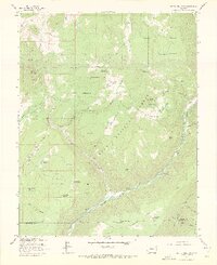
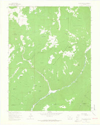
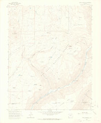
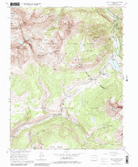
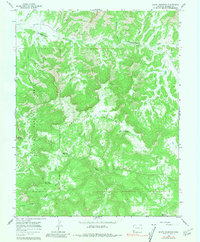
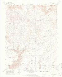
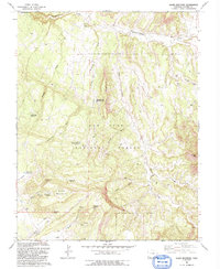
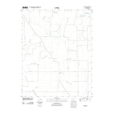
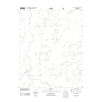
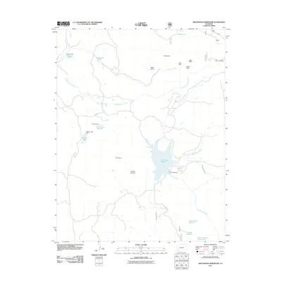
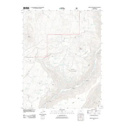
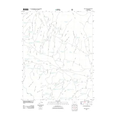
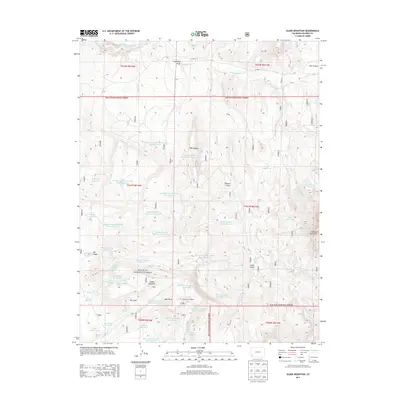
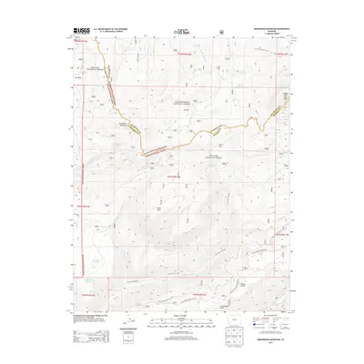
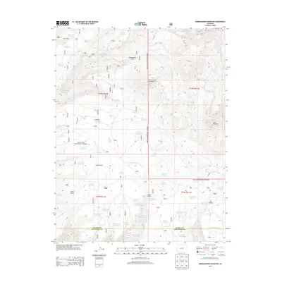
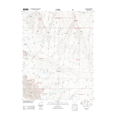
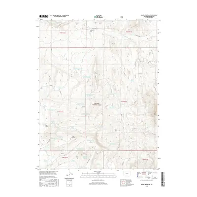
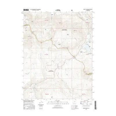
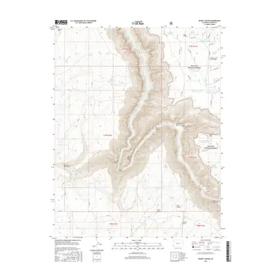
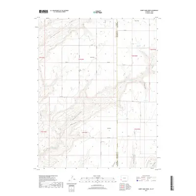
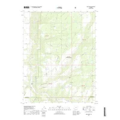
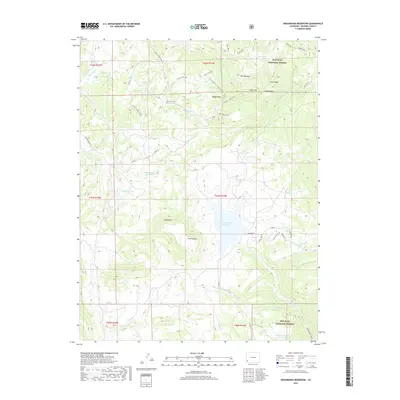
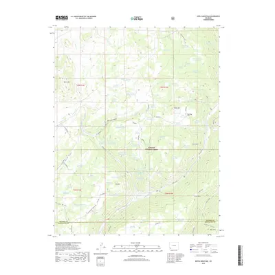
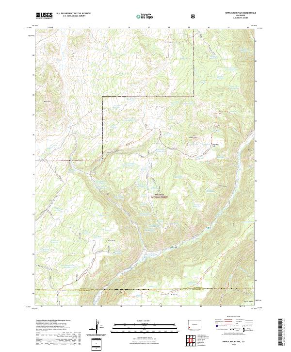
1963 Map of Nipple Mountain
USGS Topo · Published 1972About this map
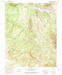
West Dolores River defines the lower drainage of this high-altitude landscape, where the Juan National Forest terrain is etched with a network of livestock and timber management infrastructure. The 1963 field survey reveals a system of essential water resources, from the Sjibo Reservoir and Cresto Reservoir to the Drift Fence Reservoir, signifying the region's reliance on managed water for seasonal ranching.
Find a feature on this map
55 named features on this map. Tap any name to fly to it.
Don’t see what you’re looking for? This feature index may not catch every label — zoom into the map to look around manually.
Map Details
Editions of this 1963 Nipple Mountain Map
4 editions found
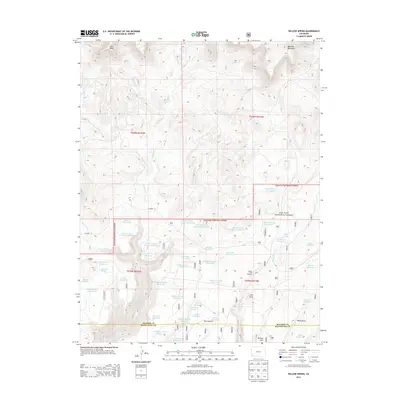
Historical Maps of Montezuma County Through Time
118 maps found
1953 Dolores Peak
Dolores County, CO
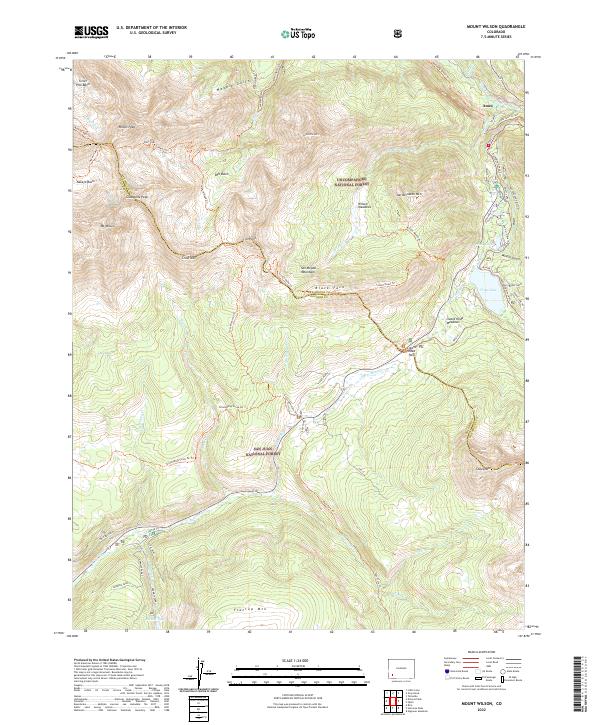
1953 Mount Wilson
Dolores County, CO

1957 Cedar 3 NW
Dolores County, CO
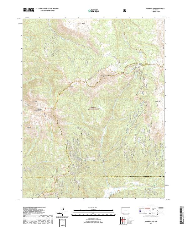
1960 Hermosa Peak
Dolores County, CO
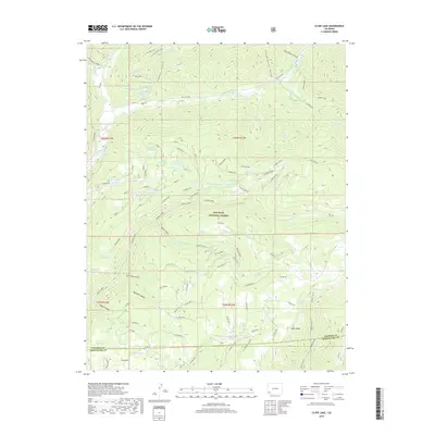
1963 Clyde Lake
Dolores County, CO
1963 Nipple Mountain
Dolores County, CO
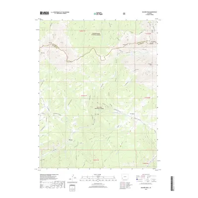
1964 Glade Mountain
Dolores County, CO
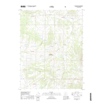
1964 Groundhog Mountain
Dolores County, CO
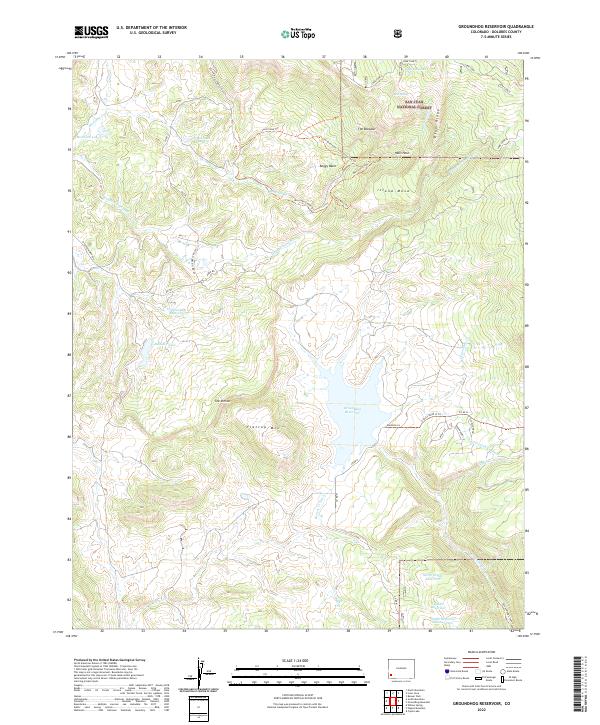
1964 Groundhog Reservoir
Dolores County, CO
1964 Secret Canyon
Dolores County, CO
1964 South Mountain
Dolores County, CO
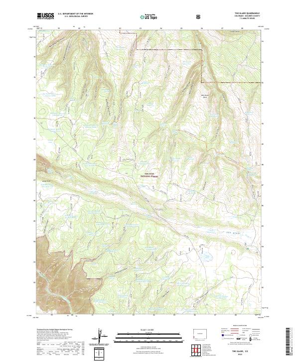
1964 The Glade
Dolores County, CO
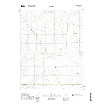
1965 Cahone
Dolores County, CO
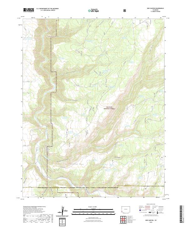
1965 Doe Canyon
Dolores County, CO

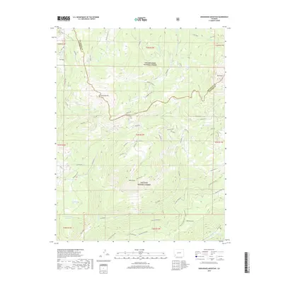
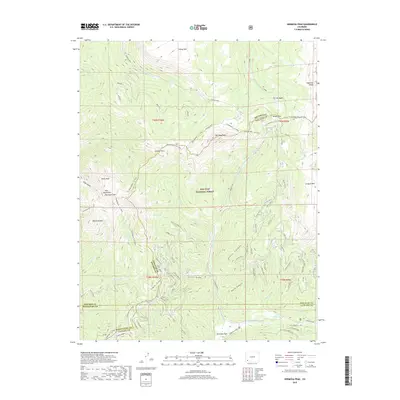
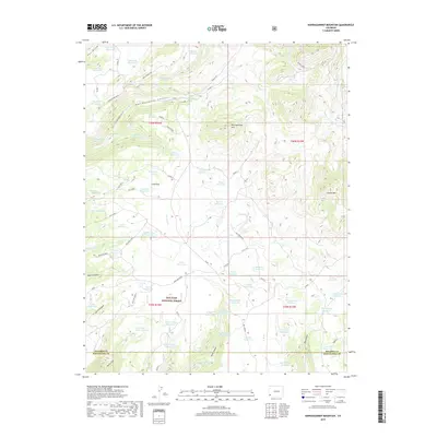
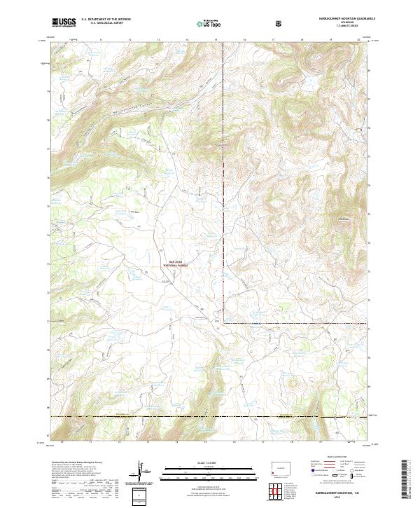
1965 Narraguinnep Mountain
Dolores County, CO
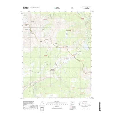
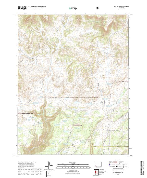
1965 Willow Spring
Dolores County, CO
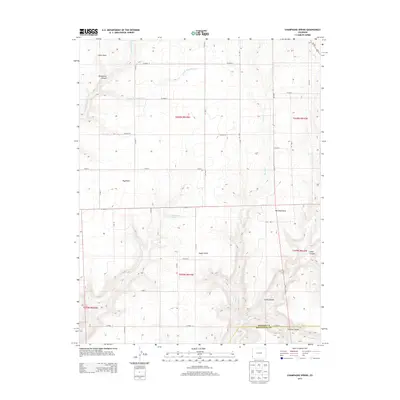
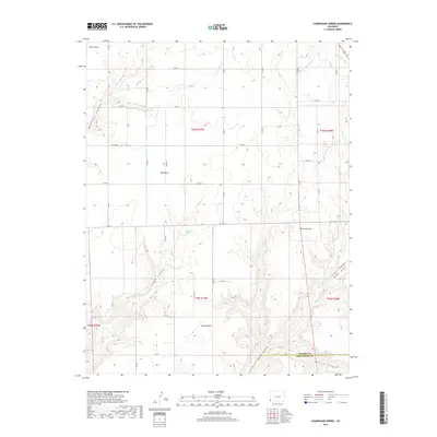
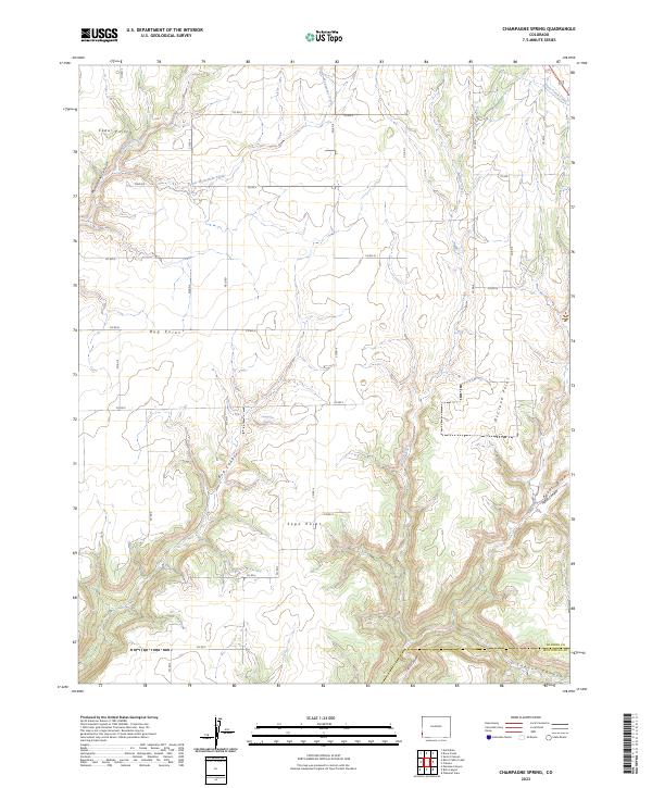
1978 Champagne Spring
Dolores County, CO

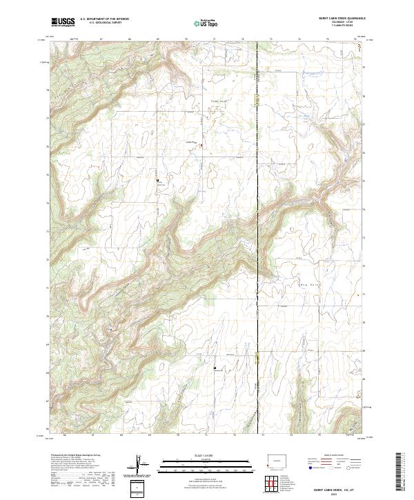
1985 Burnt Cabin Creek
Dolores County, CO
1985 Northdale
Dolores County, CO
1993 Champagne Spring
Dolores County, CO

1993 Doe Canyon
Dolores County, CO
1993 Glade Mountain
Dolores County, CO

1993 Narraguinnep Mountain
Dolores County, CO
1993 Secret Canyon
Dolores County, CO
1993 South Mountain
Dolores County, CO

1993 The Glade
Dolores County, CO

1993 Willow Spring
Dolores County, CO
1994 Cahone
Dolores County, CO
2010 Cahone
Dolores County, CO
2010 Champagne Spring
Dolores County, CO
2011 Burnt Cabin Creek
Dolores County, CO
2011 Clyde Lake
Dolores County, CO
2011 Doe Canyon
Dolores County, CO
2011 Dolores Peak
Dolores County, CO
2011 Glade Mountain
Dolores County, CO
2011 Groundhog Mountain
Dolores County, CO
2011 Groundhog Reservoir
Dolores County, CO
2011 Hermosa Peak
Dolores County, CO
2011 Mount Wilson
Dolores County, CO
2011 Narraguinnep Mountain
Dolores County, CO
2011 Nipple Mountain
Dolores County, CO
2011 Northdale
Dolores County, CO
2011 Secret Canyon
Dolores County, CO
2011 South Mountain
Dolores County, CO
2011 The Glade
Dolores County, CO
2011 Willow Spring
Dolores County, CO
2013 Burnt Cabin Creek
Dolores County, CO
2013 Cahone
Dolores County, CO
2013 Champagne Spring
Dolores County, CO
2013 Clyde Lake
Dolores County, CO
2013 Doe Canyon
Dolores County, CO

2013 Dolores Peak
Dolores County, CO
2013 Glade Mountain
Dolores County, CO
2013 Groundhog Mountain
Dolores County, CO
2013 Groundhog Reservoir
Dolores County, CO
2013 Hermosa Peak
Dolores County, CO
2013 Mount Wilson
Dolores County, CO
2013 Narraguinnep Mountain
Dolores County, CO
2013 Nipple Mountain
Dolores County, CO
2013 Northdale
Dolores County, CO

2013 Secret Canyon
Dolores County, CO
2013 South Mountain
Dolores County, CO
2013 The Glade
Dolores County, CO
2013 Willow Spring
Dolores County, CO
2016 Burnt Cabin Creek
Dolores County, CO
2016 Cahone
Dolores County, CO
2016 Champagne Spring
Dolores County, CO
2016 Clyde Lake
Dolores County, CO
2016 Doe Canyon
Dolores County, CO
2016 Dolores Peak
Dolores County, CO
2016 Glade Mountain
Dolores County, CO
2016 Groundhog Mountain
Dolores County, CO
2016 Groundhog Reservoir
Dolores County, CO
2016 Hermosa Peak
Dolores County, CO
2016 Mount Wilson
Dolores County, CO
2016 Narraguinnep Mountain
Dolores County, CO
2016 Nipple Mountain
Dolores County, CO
2016 Northdale
Dolores County, CO
2016 Secret Canyon
Dolores County, CO
2016 South Mountain
Dolores County, CO
2016 The Glade
Dolores County, CO
2016 Willow Spring
Dolores County, CO
2019 Burnt Cabin Creek
Dolores County, CO
2019 Cahone
Dolores County, CO
2019 Champagne Spring
Dolores County, CO
2019 Clyde Lake
Dolores County, CO
2019 Doe Canyon
Dolores County, CO
2019 Dolores Peak
Dolores County, CO
2019 Glade Mountain
Dolores County, CO
2019 Groundhog Mountain
Dolores County, CO
2019 Groundhog Reservoir
Dolores County, CO
2019 Hermosa Peak
Dolores County, CO
2019 Mount Wilson
Dolores County, CO
2019 Narraguinnep Mountain
Dolores County, CO
2019 Nipple Mountain
Dolores County, CO
2019 Northdale
Dolores County, CO
2019 Secret Canyon
Dolores County, CO
2019 South Mountain
Dolores County, CO
2019 The Glade
Dolores County, CO
2019 Willow Spring
Dolores County, CO
2022 Cahone
Dolores County, CO
2022 Clyde Lake
Dolores County, CO
2022 Doe Canyon
Dolores County, CO
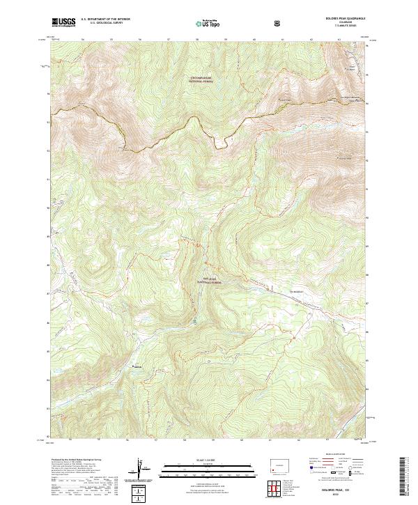
2022 Dolores Peak
Dolores County, CO
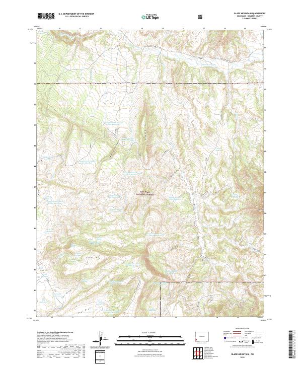
2022 Glade Mountain
Dolores County, CO
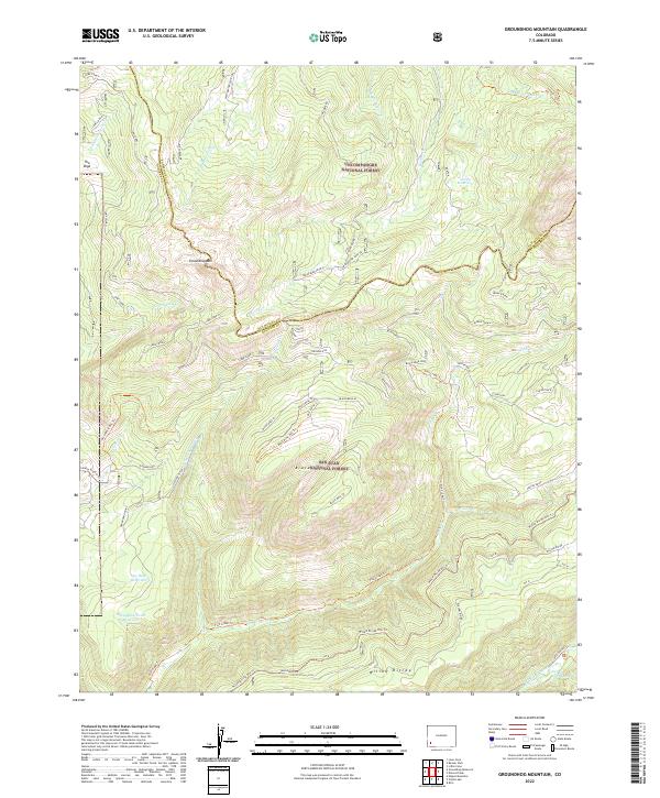
2022 Groundhog Mountain
Dolores County, CO
2022 Groundhog Reservoir
Dolores County, CO
2022 Hermosa Peak
Dolores County, CO
2022 Mount Wilson
Dolores County, CO
2022 Narraguinnep Mountain
Dolores County, CO
2022 Nipple Mountain
Dolores County, CO
2022 Northdale
Dolores County, CO
2022 Secret Canyon
Dolores County, CO
2022 South Mountain
Dolores County, CO
2022 The Glade
Dolores County, CO
2022 Willow Spring
Dolores County, CO
2023 Burnt Cabin Creek
Dolores County, CO
2023 Champagne Spring
Dolores County, CO