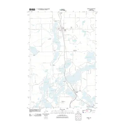
2011 Map of Nisswa
USGS Topo · Published 2011About this map
Pequot Lakes and Nisswa anchor this lake-studded landscape in the heart of central Minnesota. The region's character is defined by an intricate network of water bodies, including Upper Gull Lake, Sibley Lake, and the connected Cullen chain comprising Upper Cullen Lake, Middle Cullen Lake, and Lower Cullen Lake. Transportation through this corridor relies heavily on the Paul Bunyan Trl, which follows a historic north-south path through the settlements. Several water management structures, such as the Loon Lake Township Dam and Mayo Lake Dam, indicate a long-standing effort to regulate the local hydrology. Local history and genealogy are represented by multiple burial sites, including the Pequot Lakes Cemetery and the Thorp-Heald Cemetery near Lake Hubert. The inclusion of the Nisswa Pioneer Village highlights the community's commitment to preserving its local heritage amidst the surrounding recreational golf courses and campgrounds.
Find a feature on this map
70 named features on this map. Tap any name to fly to it.
Don’t see what you’re looking for? This feature index may not catch every label — zoom into the map to look around manually.
Map Details
Editions of this 2011 Nisswa Map
This is the sole edition of this map. No revisions or reprints were ever made.
Other maps of this area

1915 · Brainerd
USGS Topo · 1:62,500

1916 · Pillager
USGS Topo · 1:62,500

1918 · Brainerd
USGS Topo · 1:62,500

1919 · Pillager
USGS Topo · 1:62,500

1953 · Brainerd
USGS Topo · 1:250,000

1957 · Brainerd
USGS Topo · 1:250,000

1958 · Brainerd
USGS Topo · 1:250,000

1959 · Pelican Lake
USGS Topo · 1:24,000

1959 · Nisswa
USGS Topo · 1:24,000

1959 · Lower Whitefish Lake
USGS Topo · 1:24,000