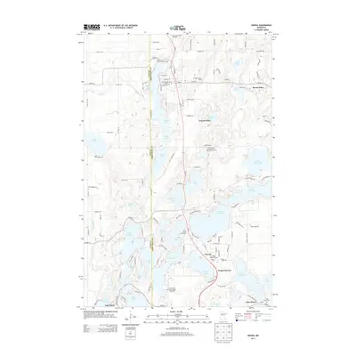
2013 Map of Nisswa
USGS Topo · Published 2013About this map
Nisswa Pioneer Village and the surrounding Brainerd Lakes area are defined by a complex network of glacial water bodies, from the sprawling Upper Gull Lake to the interconnected Cullen chain. This 2013 survey illustrates the dense concentration of seasonal resorts and community infrastructure that has evolved around these shorelines. The map details several local landmarks such as the Pequot Lookout Tower and multiple burial grounds including Pequot Lakes Cem and Thorp Heald Cem.
Find a feature on this map
89 named features on this map. Tap any name to fly to it.
Don’t see what you’re looking for? This feature index may not catch every label — zoom into the map to look around manually.
Map Details
Editions of this 2013 Nisswa Map
This is the sole edition of this map. No revisions or reprints were ever made.
Other maps of this area

1915 · Brainerd
USGS Topo · 1:62,500

1916 · Pillager
USGS Topo · 1:62,500

1918 · Brainerd
USGS Topo · 1:62,500

1919 · Pillager
USGS Topo · 1:62,500

1953 · Brainerd
USGS Topo · 1:250,000

1957 · Brainerd
USGS Topo · 1:250,000

1958 · Brainerd
USGS Topo · 1:250,000

1959 · Pelican Lake
USGS Topo · 1:24,000

1959 · Nisswa
USGS Topo · 1:24,000

1959 · Lower Whitefish Lake
USGS Topo · 1:24,000