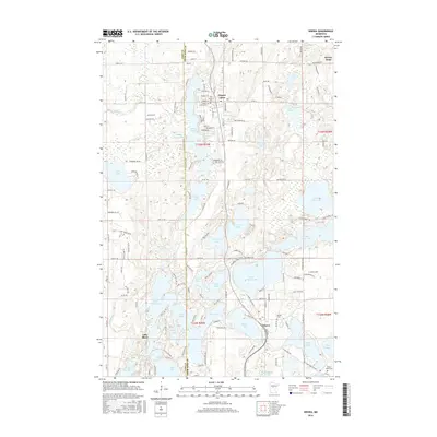
2016 Map of Nisswa
USGS Topo · Published 2016About this map
Pequot Lakes and Nisswa anchor this survey of the Brainerd Lakes area, illustrating a landscape defined by an intricate network of glacial lakes and modern recreational development. The map details the proximity of significant water bodies including Gull Lake, Upper Cullen Lake, and Lower Cullen Lake, which have long shaped the region's character as a northwoods destination. Beyond the shorelines, the survey documents established community landmarks such as Our Saviour's Ch and local burial grounds like Pequot Lakes Cem and Nisswa Cem. A managed Wildlife Impoundment near Sibley Lake indicates contemporary conservation efforts amidst the residential growth of Lake Shore and Breezy Point. The grid of county roads, such as Co RD 112 and Co RD 29, provides a clear view of how transportation infrastructure has adapted to the winding shorelines and wetland pockets characteristic of Crow Wing County.
Find a feature on this map
159 named features on this map. Tap any name to fly to it.
Don’t see what you’re looking for? This feature index may not catch every label — zoom into the map to look around manually.
Map Details
Editions of this 2016 Nisswa Map
This is the sole edition of this map. No revisions or reprints were ever made.
Other maps of this area

1915 · Brainerd
USGS Topo · 1:62,500

1916 · Pillager
USGS Topo · 1:62,500

1918 · Brainerd
USGS Topo · 1:62,500

1919 · Pillager
USGS Topo · 1:62,500

1953 · Brainerd
USGS Topo · 1:250,000

1957 · Brainerd
USGS Topo · 1:250,000

1958 · Brainerd
USGS Topo · 1:250,000

1959 · Pelican Lake
USGS Topo · 1:24,000

1959 · Nisswa
USGS Topo · 1:24,000

1959 · Lower Whitefish Lake
USGS Topo · 1:24,000