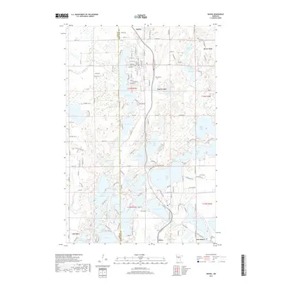
2019 Map of Nisswa
USGS Topo · Published 2019About this map
The Brainerd Lakes region’s intricate network of waterways and resort communities is documented in this 2019 survey, illustrating the dense settlement patterns around the area's many glacial lakes. Pequot Lakes and Nisswa serve as the primary hubs, connected by the corridor of Old Hwy 371. The map provides significant detail for genealogists, identifying established burial grounds such as Pequot Lakes Cem, Nisswa Cem, and the Thorp-Heald Cem near Lake Hubert.
Find a feature on this map
141 named features on this map. Tap any name to fly to it.
Don’t see what you’re looking for? This feature index may not catch every label — zoom into the map to look around manually.
Map Details
Editions of this 2019 Nisswa Map
This is the sole edition of this map. No revisions or reprints were ever made.
Other maps of this area

1915 · Brainerd
USGS Topo · 1:62,500

1916 · Pillager
USGS Topo · 1:62,500

1918 · Brainerd
USGS Topo · 1:62,500

1919 · Pillager
USGS Topo · 1:62,500

1953 · Brainerd
USGS Topo · 1:250,000

1957 · Brainerd
USGS Topo · 1:250,000

1958 · Brainerd
USGS Topo · 1:250,000

1959 · Pelican Lake
USGS Topo · 1:24,000

1959 · Nisswa
USGS Topo · 1:24,000

1959 · Lower Whitefish Lake
USGS Topo · 1:24,000