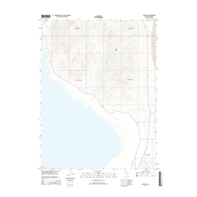
2014 Map of Nixon NW
USGS Topo · Published 2014About this map
Pyramid Lake dominates the southwestern expanse of this Nevada survey, its waters meeting the steep rising slopes of the Lake Range to the east. This 2014 edition captures the transition from the high desert shoreline to the mountainous interior of Washoe County, where the topography rises sharply from roughly 3,800 feet at the lake level to over 5,000 feet in the neighboring peaks. The only significant corridor through this arid terrain is Valley Rd, which parallels the state highway along the eastern edge of the quadrangle. This area, located within the Paiute reservation boundaries, preserves a landscape of massive geologic features and sparse infrastructure, characteristic of the Great Basin’s endorheic basins. The map provides a precise layout of section lines for townships T25N R22E through T23N R23E, detailing the complex drainage patterns and ridgelines of the range.
Find a feature on this map
8 named features on this map. Tap any name to fly to it.
Don’t see what you’re looking for? This feature index may not catch every label — zoom into the map to look around manually.
Map Details
Editions of this 2014 Nixon NW Map
This is the sole edition of this map. No revisions or reprints were ever made.
Other maps of this area

1886 · Granite Range
USGS Topo · 1:250,000
1890 · Wadsworth
USGS Topo · 1:125,000
1891 · Reno
USGS Topo · 1:125,000
1892 · Wadsworth
USGS Topo · 1:125,000
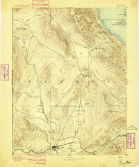
1893 · Reno
USGS Topo · 1:125,000

1894 · Granite Range
USGS Topo · 1:250,000
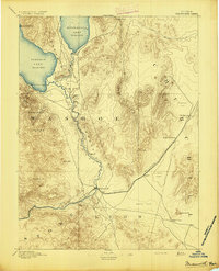
1894 · Wadsworth
USGS Topo · 1:125,000

1955 · Lovelock
USGS Topo · 1:250,000
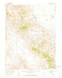
1957 · Sutcliffe
USGS Topo · 1:62,500
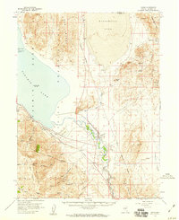
1957 · Nixon
USGS Topo · 1:62,500