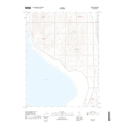
2018 Map of Nixon NW
USGS Topo · Published 2018About this map
Pyramid Lake dominates the southwestern portion of this high-desert landscape in Washoe County, where the water meets the steep rising slopes of the Lake Range. This 2018 survey documents the sharp transition between the alkaline waters and the complex topography of the mountain chain to the east. The terrain is characterized by a dense network of drainages and ridges, with elevations climbing rapidly from the shoreline. These natural features are organized within the Public Land Survey System, spanning townships such as t25n r22e and t24n r23e. The map illustrates a largely undeveloped region where the primary human footprint is found in the modern road network and the geometric precision of township boundaries superimposed over the desert wilderness.
Find a feature on this map
7 named features on this map. Tap any name to fly to it.
Don’t see what you’re looking for? This feature index may not catch every label — zoom into the map to look around manually.
Map Details
Editions of this 2018 Nixon NW Map
This is the sole edition of this map. No revisions or reprints were ever made.
Other maps of this area

1886 · Granite Range
USGS Topo · 1:250,000
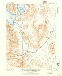
1890 · Wadsworth
USGS Topo · 1:125,000
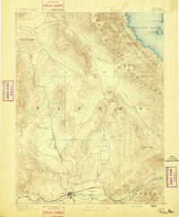
1891 · Reno
USGS Topo · 1:125,000
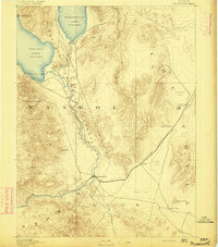
1892 · Wadsworth
USGS Topo · 1:125,000
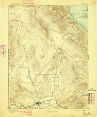
1893 · Reno
USGS Topo · 1:125,000

1894 · Granite Range
USGS Topo · 1:250,000
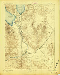
1894 · Wadsworth
USGS Topo · 1:125,000

1955 · Lovelock
USGS Topo · 1:250,000
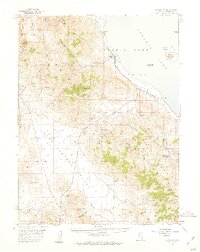
1957 · Sutcliffe
USGS Topo · 1:62,500
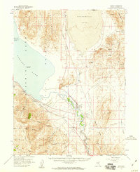
1957 · Nixon
USGS Topo · 1:62,500