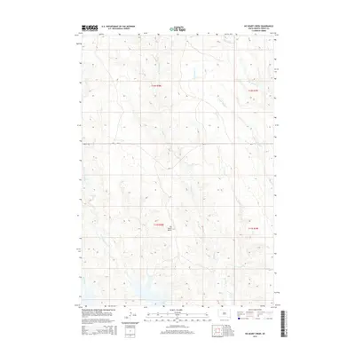
2015 Map of No Heart Creek
USGS Topo · Published 2015About this map
Lake Oahe defines the southern boundary of this landscape in Dewey County, where the Missouri River reservoir meets the winding drainage networks of the northern plains. The terrain is characterized by a series of significant watercourses, including No Heart Cr and the descriptively named Tall Prairie Chicken Cr, which carve through the topography toward the lake. A prominent landmark, No Heart Butte, rises between these creek beds, serving as a distinct navigational point in an otherwise open expanse. Transportation through the area is primarily facilitated by Bia-8, which bisects the quadrangle. Other minor waterways like Little Willow Cr, Corral Cr, and Charlie Cr reveal the intricate natural irrigation and erosion patterns typical of this Missouri River breaks region.
Find a feature on this map
13 named features on this map. Tap any name to fly to it.
Don’t see what you’re looking for? This feature index may not catch every label — zoom into the map to look around manually.
Map Details
Editions of this 2015 No Heart Creek Map
This is the sole edition of this map. No revisions or reprints were ever made.
Other maps of this area

1953 · McIntosh
USGS Topo · 1:250,000

1954 · Pierre
USGS Topo · 1:250,000

1958 · Pierre
USGS Topo · 1:250,000

1958 · McIntosh
USGS Topo · 1:250,000
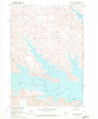
1969 · Rousseau Creek
USGS Topo · 1:24,000
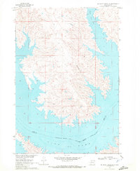
1969 · No Heart Creek SE
USGS Topo · 1:24,000
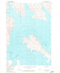
1969 · No Heart Creek SW
USGS Topo · 1:24,000
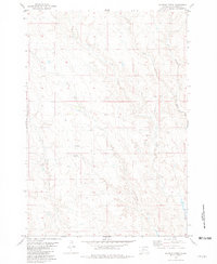
1981 · Charlie Creek
USGS Topo · 1:24,000
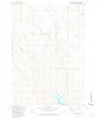
1981 · No Heart Creek NE
USGS Topo · 1:24,000
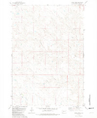
1981 · Stove Creek
USGS Topo · 1:24,000