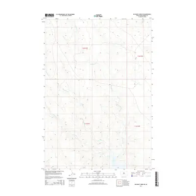
2015 Map of No Heart Creek NE
USGS Topo · Published 2015About this map
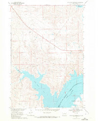
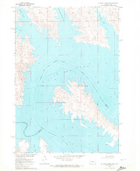
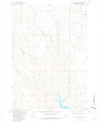
Lake Oahe dominates the southeastern corner of this map, representing a significant modification of the regional geography within the Cheyenne River Reservation. The surrounding landscape in Dewey County is defined by a dense network of drainage systems, including Little Willow Cr, E Br Willow Cr, and W Br Willow Cr, which carve through the high plains terrain. The map provides a detailed view of the Public Land Survey System (PLSS) layout, showing the intersections of t12n r29e, t12n r30e, t11n r29e, and t11n r30e. Infrastructure is notably sparse, with the presence of Bia-8 serving as the primary transit corridor through these tribal lands, highlighting the rural and open character of the Missouri River plateau during this era.
Find a feature on this map
9 named features on this map. Tap any name to fly to it.
Don’t see what you’re looking for? This feature index may not catch every label — zoom into the map to look around manually.
Map Details
Editions of this 2015 No Heart Creek NE Map
This is the sole edition of this map. No revisions or reprints were ever made.
Other maps of this area

1953 · McIntosh
USGS Topo · 1:250,000

1954 · Pierre
USGS Topo · 1:250,000

1958 · Pierre
USGS Topo · 1:250,000

1958 · McIntosh
USGS Topo · 1:250,000
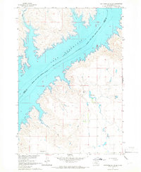
1965 · Artichoke Butte SW
USGS Topo · 1:24,000
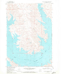
1969 · No Heart Creek SE
USGS Topo · 1:24,000
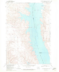
1969 · Artichoke Butte NW
USGS Topo · 1:24,000
1969 · Patch Skin Buttes SW
USGS Topo · 1:24,000
1969 · No Heart Creek SW
USGS Topo · 1:24,000
1981 · No Heart Creek NE
USGS Topo · 1:24,000