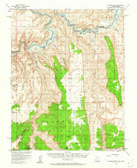
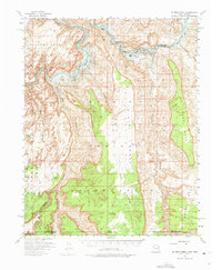
1953 Map of No Mans Mesa
USGS Topo · Published 1962About this map
San Juan River and the newly forming waters of Lake Powell dominate the northern corridor of this 1950s study. The survey documents a critical transition in the landscape as the Atomic Energy Commission cooperated with the Geological Survey to map this section of the Navajo Indian Reservation prior to the permanent inundation of the river valley. The map preserves the locations of early outposts such as Spencer Camp and Zahn Camp, alongside traditional travel routes like the Wetherill Trail.
Find a feature on this map
27 named features on this map. Tap any name to fly to it.
Don’t see what you’re looking for? This feature index may not catch every label — zoom into the map to look around manually.
Map Details
Editions of this 1953 No Mans Mesa Map
3 editions found

Other maps of this area

1883 · Marsh Pass
USGS Topo · 1:250,000

1886 · Henry Mountains
USGS Topo · 1:250,000

1892 · Marsh Pass
USGS Topo · 1:250,000

1892 · Henry Mountains
USGS Topo · 1:250,000

1952 · Shato Spring 1 NE
USGS Topo · 1:24,000

1952 · Agathla Peak 2 NW
USGS Topo · 1:24,000

1952 · Boot Mesa
USGS Topo · 1:62,500

1952 · Clay Hills 3 SW
USGS Topo · 1:24,000

1952 · Clay Hills 3 NW
USGS Topo · 1:24,000

1952 · Navajo Mtn. 4 SE
USGS Topo · 1:24,000