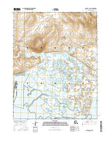
2016 Map of Noatak A-2 SE
USGS Topo · Published 2016About this map
Cape Krusenstern National Monument occupies the western portion of this Arctic landscape, where the coastal lowlands meet the foothills of the Brooks Range. The terrain is defined by an intricate network of wetlands, ponds, and ephemeral watercourses characteristic of the northwestern Alaskan tundra. Rising above the surrounding flats, Napaktuktuk Mtn provides a significant vertical landmark in the northwestern quadrant, serving as a distinct topographical anchor amidst the shifting drainage patterns. To the southeast, the Noatak River meanders through its wide valley, demonstrating the complex hydrologic system of the Noatak A-2 SE region. This map illustrates the intersection of protected national lands and the expansive river corridors that have historically supported seasonal movement and subsistence patterns in the Northwest Arctic Borough.
Find a feature on this map
7 named features on this map. Tap any name to fly to it.
Don’t see what you’re looking for? This feature index may not catch every label — zoom into the map to look around manually.
Map Details
Editions of this 2016 Noatak A-2 SE Map
This is the sole edition of this map. No revisions or reprints were ever made.
Other maps of this area

1951 · Noatak
USGS Topo · 1:250,000

1951 · Kotzebue
USGS Topo · 1:250,000

1951 · Kotzebue D-1
USGS Topo · 1:63,360

1951 · Kotzebue D-2
USGS Topo · 1:63,360

1955 · Noatak
USGS Topo · 1:250,000
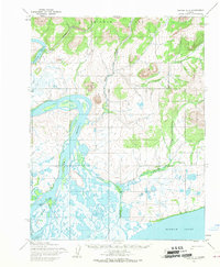
1955 · Noatak A-1
USGS Topo · 1:63,360
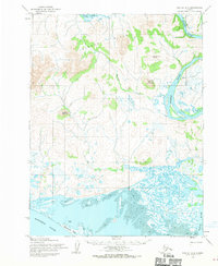
1955 · Noatak A-2
USGS Topo · 1:63,360

1958 · Kotzebue
USGS Topo · 1:250,000

1964 · Noatak
USGS Topo · 1:250,000

1964 · Kotzebue
USGS Topo · 1:250,000