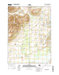
2015 Map of Noatak D-2 NE
USGS Topo · Published 2015About this map
Noatak National Preserve encompasses a significant portion of this Arctic landscape, where the braided channels of the Noatak River sweep across the southeastern corner of the quadrangle. The map documents a vast stretch of the Brooks Range foothills, characterized by high-elevation contours and complex hydrography. The terrain transitions from high summits in the northwest, including those within t30n r18w, down toward the glacial valleys and riparian corridors. This area remains largely defined by its natural drainage patterns and the administrative boundaries of the Public Land Survey System, illustrating a landscape where geographic features take precedence over human development.
Find a feature on this map
6 named features on this map. Tap any name to fly to it.
Don’t see what you’re looking for? This feature index may not catch every label — zoom into the map to look around manually.
Map Details
Editions of this 2015 Noatak D-2 NE Map
This is the sole edition of this map. No revisions or reprints were ever made.
Other maps of this area

1951 · De Long Mountains
USGS Topo · 1:250,000

1951 · Noatak
USGS Topo · 1:250,000

1955 · Noatak
USGS Topo · 1:250,000

1955 · De Long Mountains
USGS Topo · 1:250,000

1955 · Noatak D-1
USGS Topo · 1:63,360

1955 · Noatak D-2
USGS Topo · 1:63,360

1955 · De Long Mountains A-1
USGS Topo · 1:63,360

1955 · De Long Mountains A-2
USGS Topo · 1:63,360

1964 · Noatak
USGS Topo · 1:250,000

1965 · De Long Mountains
USGS Topo · 1:250,000