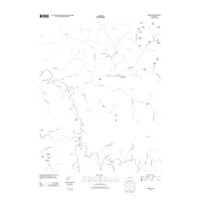
2013 Map of Noble
USGS Topo · Published 2013About this map
Troublesome Cr and Buckhorn Cr carve a winding network of narrow valleys through this portion of Breathitt County, Kentucky. This area is characterized by small riverside settlements and numerous family cemeteries that reflect the deep-rooted genealogical history of the region. The central community of Noble sits at a junction where the Camp Robinson University of Kentucky Engineering Camp is located along the banks of Buckhorn Cr. To the south, the settlement of Stacy serves as a local focal point near the Noble Cemeteries and Napier Cemeteries. The landscape is defined by hundreds of small hollows, such as Deadmans Hollow and Sam Hollow, and prominent terrain markers like Cinder Knob. These topographic features dictate the paths of local roads, such as Clemons Fk Rd and Long Fork Rd, which follow the serpentine floor of the creek beds.
Find a feature on this map
133 named features on this map. Tap any name to fly to it.
Don’t see what you’re looking for? This feature index may not catch every label — zoom into the map to look around manually.
Map Details
Editions of this 2013 Noble Map
This is the sole edition of this map. No revisions or reprints were ever made.
Other maps of this area

1889 · Salyersville
USGS Topo · 1:125,000

1891 · Hazard
USGS Topo · 1:125,000

1891 · Salyersville
USGS Topo · 1:125,000

1899 · Salyersville
USGS Topo · 1:125,000

1913 · Buckhorn
USGS Topo · 1:62,500

1914 · Troublesome
USGS Topo · 1:62,500

1951 · Tiptop
USGS Topo · 1:24,000

1951 · Guage
USGS Topo · 1:24,000

1951 · Quicksand
USGS Topo · 1:24,000

1954 · Noble
USGS Topo · 1:24,000