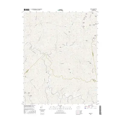
2016 Map of Noble
USGS Topo · Published 2016About this map
Noble serves as the central settlement point in this Breathitt County landscape, where the deeply carved terrain of the Cumberland Plateau is defined by an intricate network of narrow valleys and named hollows. The local topography is punctuated by Cinder Knob and drained by numerous waterways including Nobles Branch and Williams Fork Rd. These corridors provide the primary routes for transit, with roads like Bethel Church Rd and Travelers Rest Rd following the natural contours of the land.
Find a feature on this map
59 named features on this map. Tap any name to fly to it.
Don’t see what you’re looking for? This feature index may not catch every label — zoom into the map to look around manually.
Map Details
Editions of this 2016 Noble Map
This is the sole edition of this map. No revisions or reprints were ever made.
Other maps of this area
1889 · Salyersville
USGS Topo · 1:125,000
1891 · Hazard
USGS Topo · 1:125,000
1891 · Salyersville
USGS Topo · 1:125,000
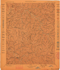
1899 · Salyersville
USGS Topo · 1:125,000
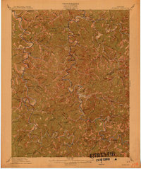
1913 · Buckhorn
USGS Topo · 1:62,500
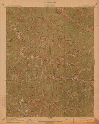
1914 · Troublesome
USGS Topo · 1:62,500
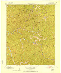
1951 · Tiptop
USGS Topo · 1:24,000
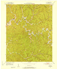
1951 · Guage
USGS Topo · 1:24,000
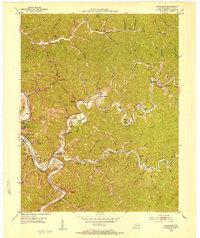
1951 · Quicksand
USGS Topo · 1:24,000
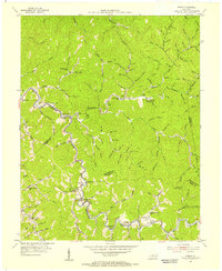
1954 · Noble
USGS Topo · 1:24,000