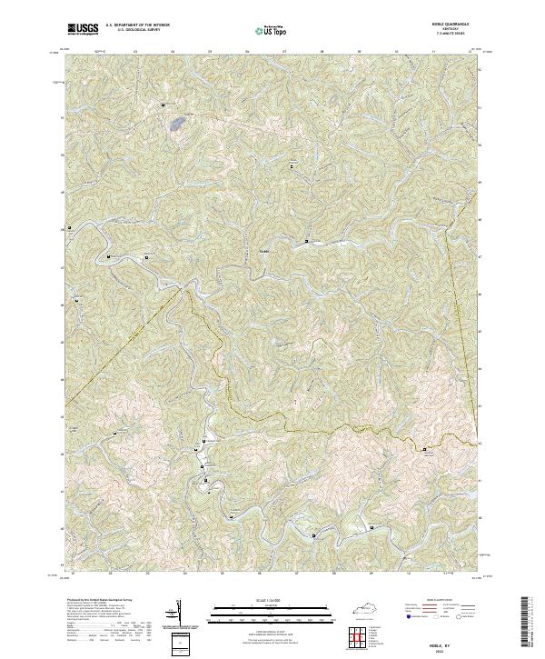
2022 Map of Noble
USGS Topo · Published 2022About this map
Noble serves as the central point of this highland region, situated at the confluence of the Troublesome Creek valley and the winding Long Fork Rd. The landscape is defined by an intricate network of hollows and forks, where small family cemeteries like Noble Cemeteries, Napier Cemeteries, and the Campbell Cem are tucked away in the deep drainages. This density of burial sites along nearly every branch—including Cockerell Fork Cem and Haddix Cem—suggests a deeply rooted pattern of kin-based settlement that has persisted through generations in the Kentucky hills.
Find a feature on this map
120 named features on this map. Tap any name to fly to it.
Don’t see what you’re looking for? This feature index may not catch every label — zoom into the map to look around manually.
Map Details
Editions of this 2022 Noble Map
This is the sole edition of this map. No revisions or reprints were ever made.
Other maps of this area

1889 · Salyersville
USGS Topo · 1:125,000

1891 · Hazard
USGS Topo · 1:125,000

1891 · Salyersville
USGS Topo · 1:125,000

1899 · Salyersville
USGS Topo · 1:125,000

1913 · Buckhorn
USGS Topo · 1:62,500

1914 · Troublesome
USGS Topo · 1:62,500

1951 · Tiptop
USGS Topo · 1:24,000

1951 · Guage
USGS Topo · 1:24,000

1951 · Quicksand
USGS Topo · 1:24,000

1954 · Noble
USGS Topo · 1:24,000