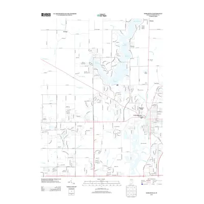
2013 Map of Noblesville
USGS Topo · Published 2013About this map
The Morse Reservoir dominates the northern landscape of Hamilton County, its irregular shoreline reaching toward Deming and Cicero. This 2013 survey illustrates the residential and recreational development surrounding the water, where Morse Marina and various residential subdivisions have transformed the traditional agricultural land. The White River flows through the eastern portion of the quadrangle, passing beneath Potter Bridge and flanking the expansive Fox Prairie area.
Find a feature on this map
288 named features on this map. Tap any name to fly to it.
Don’t see what you’re looking for? This feature index may not catch every label — zoom into the map to look around manually.
Map Details
Editions of this 2013 Noblesville Map
This is the sole edition of this map. No revisions or reprints were ever made.
Other maps of this area

1952 · Fishers
USGS Topo · 1:24,000

1952 · Carmel
USGS Topo · 1:24,000

1952 · Mc Cordsville
USGS Topo · 1:24,000

1953 · Westfield
USGS Topo · 1:24,000

1953 · Riverwood
USGS Topo · 1:24,000

1953 · Noblesville
USGS Topo · 1:24,000

1953 · Cincinnati
USGS Topo · 1:250,000

1953 · Danville
USGS Topo · 1:250,000

1953 · Indianapolis
USGS Topo · 1:250,000

1953 · Muncie
USGS Topo · 1:250,000