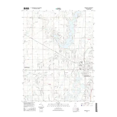
2016 Map of Noblesville
USGS Topo · Published 2016About this map
Noblesville and Westfield anchor this detailed landscape in Hamilton County, where the suburban expansion of central Indiana meets historic rural infrastructure. The White River winds through the eastern portion of the map, flanked by residential developments and significant local landmarks like Potter Bridge and Riverside Cemetery. The northern reaches are dominated by the extensive waters of Morse Reservoir, which reshaped the drainage of Cicero Creek and Hinkle Creek. Significant genealogical interest is found in the numerous burial grounds scattered across the terrain, including the West Grove, Hinkle, and Thorp cemeteries. Local aviation history is represented by Mc Gill Airport near the northern boundary, while the transition from traditional agriculture to modern subdivisions is visible in the network of ditches such as Vestal Ditch and Mallery Granger Ditch that continue to manage the local watershed.
Find a feature on this map
116 named features on this map. Tap any name to fly to it.
Don’t see what you’re looking for? This feature index may not catch every label — zoom into the map to look around manually.
Map Details
Editions of this 2016 Noblesville Map
This is the sole edition of this map. No revisions or reprints were ever made.
Other maps of this area

1952 · Fishers
USGS Topo · 1:24,000

1952 · Carmel
USGS Topo · 1:24,000

1952 · Mc Cordsville
USGS Topo · 1:24,000

1953 · Westfield
USGS Topo · 1:24,000

1953 · Riverwood
USGS Topo · 1:24,000

1953 · Noblesville
USGS Topo · 1:24,000

1953 · Cincinnati
USGS Topo · 1:250,000

1953 · Danville
USGS Topo · 1:250,000

1953 · Indianapolis
USGS Topo · 1:250,000

1953 · Muncie
USGS Topo · 1:250,000