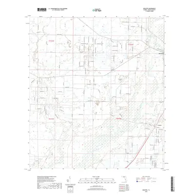
2018 Map of Nocatee
USGS Topo · Published 2018About this map
The Peace River carves a winding path through this Florida landscape, serving as the central geographic feature between the settlements of Arcadia and Nocatee. The terrain is defined by a complex network of wetlands and small water bodies, including Bee Gum Lake, Johnson Lake, and Grass Lake, which intermingle with tributaries like Joshua Cr and Horse Creek. This hydrography suggests a region deeply tied to its riverine environment, where land use is dictated by the seasonal ebb and flow of the local water table.
Find a feature on this map
117 named features on this map. Tap any name to fly to it.
Don’t see what you’re looking for? This feature index may not catch every label — zoom into the map to look around manually.
Map Details
Editions of this 2018 Nocatee Map
This is the sole edition of this map. No revisions or reprints were ever made.
Other maps of this area
1956 · Gardner
USGS Topo · 1:24,000
1956 · Arcadia SE
USGS Topo · 1:24,000
1956 · Edgeville
USGS Topo · 1:24,000
1956 · Murdock SE
USGS Topo · 1:24,000
1956 · Murdock NE
USGS Topo · 1:24,000
1956 · Limestone
USGS Topo · 1:24,000
1956 · Ft. Ogden
USGS Topo · 1:24,000
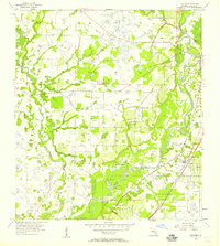
1956 · Nocatee
USGS Topo · 1:24,000
1956 · Tampa
USGS Topo · 1:250,000
1956 · Fort Pierce
USGS Topo · 1:250,000