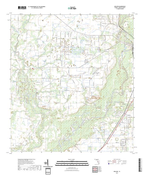
2024 Map of Nocatee
USGS Topo · Published 2024About this map
Peace River and its tributary Horse Creek dominate this landscape in DeSoto County, Florida. The map reveals a transition between the wetlands of Bee Gum Lake and the established rural infrastructure of the early 21st century. Local history is anchored by the Oak Hill Cemetery and Owens Cem, while the naming of Owens School St hints at the location of former community landmarks. The area's hydrology is complex, with Joshua Creek and the Buzzard Roost Branch carving through a network of section lines. Modern recreation is represented by the Peace River State Trail, which parallels the river. A mix of named local roads like Albritton St and Wildcat Run Rd serves a landscape of scattered homes and agricultural fields, with McDonald's Field marking a distinct local landmark in the northern reaches of the quadrangle.
Find a feature on this map
114 named features on this map. Tap any name to fly to it.
Don’t see what you’re looking for? This feature index may not catch every label — zoom into the map to look around manually.
Map Details
Editions of this 2024 Nocatee Map
This is the sole edition of this map. No revisions or reprints were ever made.
Other maps of this area

1956 · Gardner
USGS Topo · 1:24,000

1956 · Arcadia SE
USGS Topo · 1:24,000

1956 · Edgeville
USGS Topo · 1:24,000

1956 · Murdock SE
USGS Topo · 1:24,000

1956 · Murdock NE
USGS Topo · 1:24,000

1956 · Limestone
USGS Topo · 1:24,000

1956 · Ft. Ogden
USGS Topo · 1:24,000

1956 · Nocatee
USGS Topo · 1:24,000

1956 · Tampa
USGS Topo · 1:250,000

1956 · Fort Pierce
USGS Topo · 1:250,000