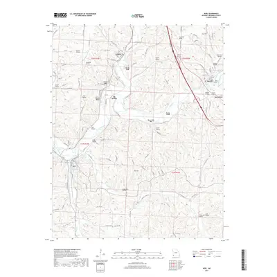
2017 Map of Noel
USGS Topo · Published 2017About this map
The Elk River carves a winding path through this corner of McDonald County, shaping a landscape defined by deep hollows and narrow ridges. The corridor is anchored by the Kansas City Southern railroad, which tracks the river valley through settlements like Lanagan, Elk Springs, and Noel. These communities, along with the nearby Ginger Blue and Riverside Inn, reflect a history tied to both the rails and the water. To the west, the Mount Shira Ch and Shadow Lake mark local centers of activity near the river bends.
Find a feature on this map
121 named features on this map. Tap any name to fly to it.
Don’t see what you’re looking for? This feature index may not catch every label — zoom into the map to look around manually.
Map Details
Editions of this 2017 Noel Map
This is the sole edition of this map. No revisions or reprints were ever made.
Other maps of this area
1899 · Fayetteville
USGS Topo · 1:125,000
1899 · Siloam Springs
USGS Topo · 1:125,000
1901 · Fayetteville
USGS Topo · 1:125,000
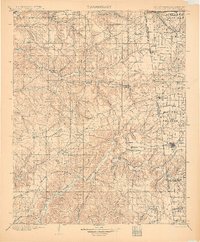
1903 · Siloam Springs
USGS Topo · 1:125,000
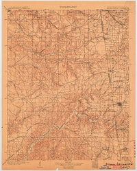
1904 · Siloam Springs
USGS Topo · 1:125,000
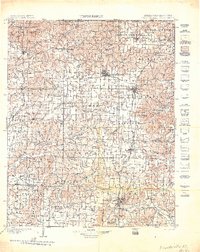
1904 · Fayetteville
USGS Topo · 1:125,000
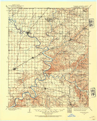
1907 · Wyandotte
USGS Topo · 1:125,000
1909 · Wyandotte
USGS Topo · 1:125,000
1940 · Noel
USGS Topo · 1:62,500
1943 · Noel
USGS Topo · 1:62,500