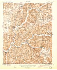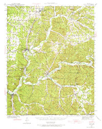
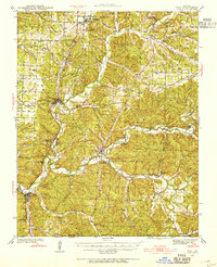
1940 Map of Noel
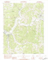
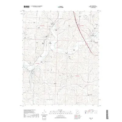
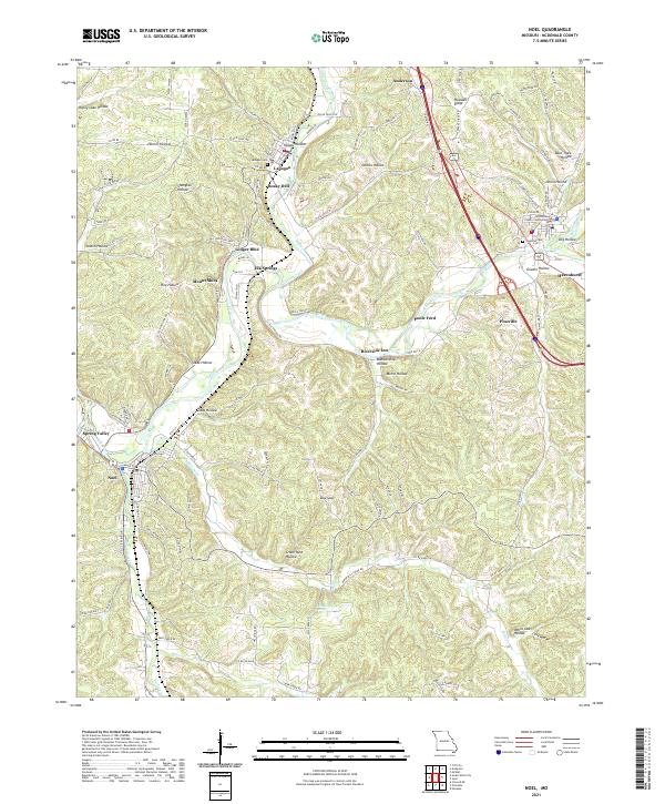
USGS Topo · Published 1973About this map
The Kansas City Southern Railroad serves as the industrial spine of this Ozark landscape, connecting the agricultural and timber hubs of Anderson, Goodman, and Lanagan. This 1940 survey reveals a region transitioning into a recreational destination, evidenced by the presence of the Riverside Inn and the subterranean attraction of Bluff Dwellers Cave near the Arkansas border. The terrain is deeply incised by the Elk River and its numerous tributaries, where a network of river crossings like Poole Ford and Meadors Ford maintained local connectivity before the modern highway system was fully realized.
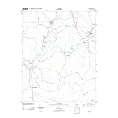
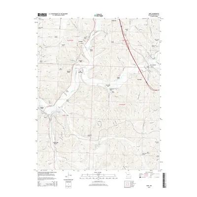
Find a feature on this map
124 named features on this map. Tap any name to fly to it.
Don’t see what you’re looking for? This feature index may not catch every label — zoom into the map to look around manually.
Map Details
Editions of this 1940 Noel Map
2 editions found
Historical Maps of Anderson Through Time
7 maps found