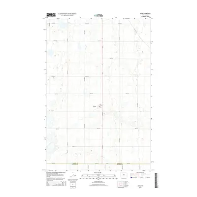
2014 Map of Nome
USGS Topo · Published 2014About this map
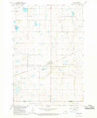
Nome sits at the center of this rural landscape, a pocket of gridded streets including Main St, 1st St N, and 1st St S surrounded by a vast network of section roads. The map reveals the agricultural character of the region, where the grid of the Public Land Survey System dictates the movement across the terrain via routes like 126th Ave SE and 46th St SE. Along the southern boundary, the transition between Barnes Co and Ransom Co is marked at 54th St SE, while the irregular topography is punctuated by numerous small depressions and seasonal water bodies. This 2014 survey documents the enduring spatial layout of the North Dakota prairie, showing how a single concentrated settlement like Nome serves a wide geographic area of farmsteads and open land.
Find a feature on this map
21 named features on this map. Tap any name to fly to it.
Don’t see what you’re looking for? This feature index may not catch every label — zoom into the map to look around manually.
Map Details
Editions of this 2014 Nome Map
This is the sole edition of this map. No revisions or reprints were ever made.
Other maps of this area
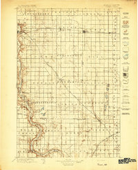
1897 · Tower
USGS Topo · 1:125,000

1953 · Fargo
USGS Topo · 1:250,000

1956 · Fargo
USGS Topo · 1:250,000
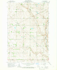
1965 · Lucca
USGS Topo · 1:24,000
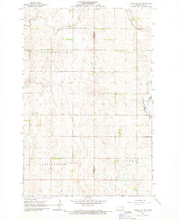
1965 · Tower City SW
USGS Topo · 1:24,000
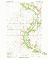
1967 · Ft. Ransom
USGS Topo · 1:24,000
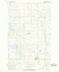
1967 · Fingal
USGS Topo · 1:24,000
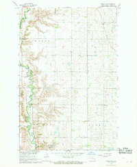
1967 · Fingal SW
USGS Topo · 1:24,000
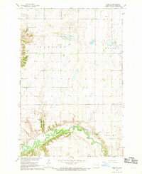
1967 · Nome SE
USGS Topo · 1:24,000
1967 · Nome
USGS Topo · 1:24,000