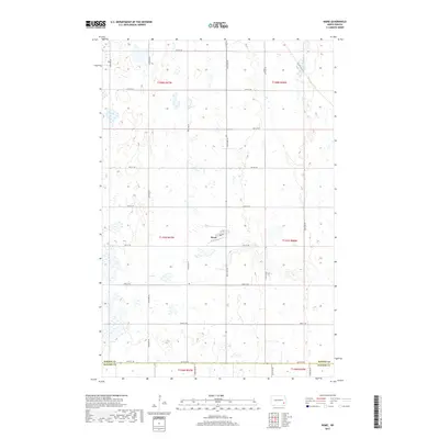
2017 Map of Nome
USGS Topo · Published 2017About this map
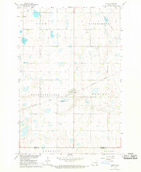
Nome stands as the central hub of this agricultural landscape in the southeast corner of Barnes Co, situated just north of the Ransom Co line. The settlement is organized along a traditional grid, featuring 1st St N and 1st St S, while surrounded by the vast prairie pothole region of North Dakota. This 2017 survey reveals a landscape heavily defined by its Section Land Survey System roots, with a dense network of gravel and section-line roads such as 124th Ave SE and 49th St SE providing access to the numerous wetlands and depressions that dot the townships. The terrain transition is marked by the presence of Co Hwy 38, which serves as a primary corridor through this sparsely populated region of the state, connecting the local farmsteads to the larger trade routes of the Sheyenne River valley.
Find a feature on this map
26 named features on this map. Tap any name to fly to it.
Don’t see what you’re looking for? This feature index may not catch every label — zoom into the map to look around manually.
Map Details
Editions of this 2017 Nome Map
This is the sole edition of this map. No revisions or reprints were ever made.
Other maps of this area
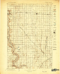
1897 · Tower
USGS Topo · 1:125,000

1953 · Fargo
USGS Topo · 1:250,000

1956 · Fargo
USGS Topo · 1:250,000
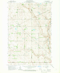
1965 · Lucca
USGS Topo · 1:24,000
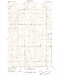
1965 · Tower City SW
USGS Topo · 1:24,000
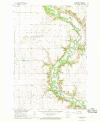
1967 · Ft. Ransom
USGS Topo · 1:24,000
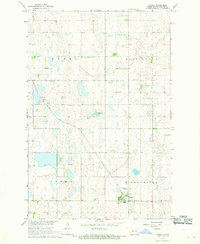
1967 · Fingal
USGS Topo · 1:24,000
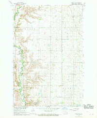
1967 · Fingal SW
USGS Topo · 1:24,000
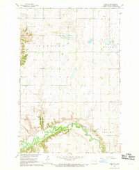
1967 · Nome SE
USGS Topo · 1:24,000
1967 · Nome
USGS Topo · 1:24,000