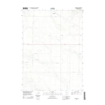
2014 Map of Nonpareil
USGS Topo · Published 2014About this map
Nonpareil serves as the primary named settlement in this pocket of the Nebraska Panhandle, situated within a landscape defined by an extensive network of ephemeral drainages and section roads. The topography is shaped by the winding courses of Hemingford Cr and the multiple branches of Point of Rocks Cr, which together form the primary hydrological pattern of the area. Man-made water management is evident at Phillips Reservoir, located near the intersection of CR-78 and Franklin Rd. The map illustrates a strictly organized agricultural grid, with arterial routes like Dodge Rd and Cass Rd providing the framework for rural life. This 2014 survey documents the enduring spatial layout of Box Butte County, showing how modern county roads continue to follow the historic township and range lines established during the region's initial settlement.
Find a feature on this map
18 named features on this map. Tap any name to fly to it.
Don’t see what you’re looking for? This feature index may not catch every label — zoom into the map to look around manually.
Map Details
Editions of this 2014 Nonpareil Map
This is the sole edition of this map. No revisions or reprints were ever made.
Other maps of this area
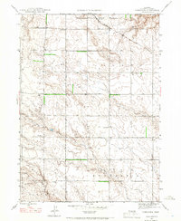
1946 · Nonpareil
USGS Topo · 1:24,000
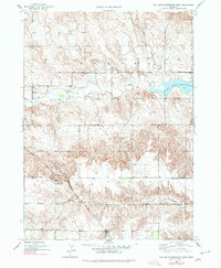
1946 · Box Butte Reservoir West
USGS Topo · 1:24,000
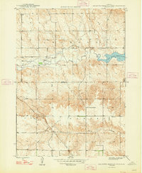
1948 · Box Butte Reservoir West
USGS Topo · 1:24,000
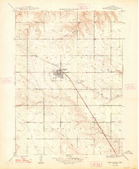
1948 · Hemingford
USGS Topo · 1:24,000
1948 · Hemingford 4 NE
USGS Topo · 1:24,000
1948 · Hemingford 4 NW
USGS Topo · 1:24,000
1948 · Nonpareil
USGS Topo · 1:24,000
1948 · Box Butte Reservoir East
USGS Topo · 1:24,000
1951 · Marsland
USGS Topo · 1:62,500
1951 · Kilpatrick Lake
USGS Topo · 1:62,500