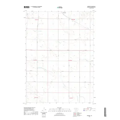
2017 Map of Nonpareil
USGS Topo · Published 2017About this map
Nonpareil sits in the northern reaches of this High Plains landscape, where the High Plains terrain is etched by seasonal watercourses and a rigid grid of country roads. The hydrology is defined by the ephemeral drainage of Hemingford Cr and the complex branching of the Point of Rocks system, including the N Br Point of Rocks Cr and Point of Rocks Cr. These drainages represent the primary topographical relief in a region dominated by agricultural sectioning.
Find a feature on this map
23 named features on this map. Tap any name to fly to it.
Don’t see what you’re looking for? This feature index may not catch every label — zoom into the map to look around manually.
Map Details
Editions of this 2017 Nonpareil Map
This is the sole edition of this map. No revisions or reprints were ever made.
Other maps of this area
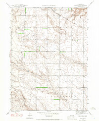
1946 · Nonpareil
USGS Topo · 1:24,000
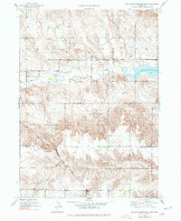
1946 · Box Butte Reservoir West
USGS Topo · 1:24,000
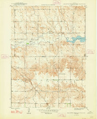
1948 · Box Butte Reservoir West
USGS Topo · 1:24,000
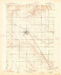
1948 · Hemingford
USGS Topo · 1:24,000
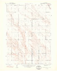
1948 · Hemingford 4 NE
USGS Topo · 1:24,000
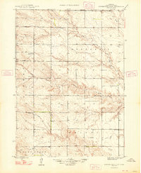
1948 · Hemingford 4 NW
USGS Topo · 1:24,000
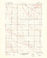
1948 · Nonpareil
USGS Topo · 1:24,000
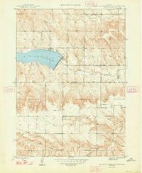
1948 · Box Butte Reservoir East
USGS Topo · 1:24,000
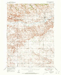
1951 · Marsland
USGS Topo · 1:62,500
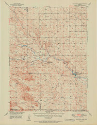
1951 · Kilpatrick Lake
USGS Topo · 1:62,500