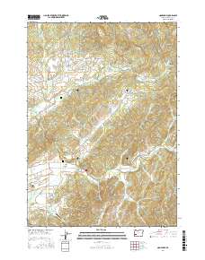
2017 Map of Nonpareil
USGS Topo · Published 2017About this map
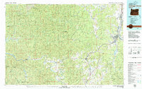
Fair Oaks and the surrounding Douglas County countryside are defined by a network of creeks and timbered ridges in this 2017 study. The area is marked by a legacy of rural life, with family-named landmarks like Harvey Cem and Fair Oaks Cem preserving local history. The land south of Ben More Mtn transitions from the heights of Robinson Ridge and Hall Ridge down into the valley floor, where Calapooya Creek and Sutherlin Cr drain the landscape. Evidence of historical industry and transportation remains visible through labels such as Bonanza Mine Rd and Old Pioneer Rd, while the Flying D Ranch Airport and various reservoirs like Platt 1 Reservoir indicate more modern land use. The map provides a detailed view of the winding mountain roads and Bureau of Land Management routes that provide access to the Fraser Canyon and Smith Canyon areas.
Find a feature on this map
65 named features on this map. Tap any name to fly to it.
Don’t see what you’re looking for? This feature index may not catch every label — zoom into the map to look around manually.
Map Details
Editions of this 2017 Nonpareil Map
This is the sole edition of this map. No revisions or reprints were ever made.
Other maps of this area
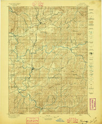
1897 · Roseburg
USGS Topo · 1:125,000
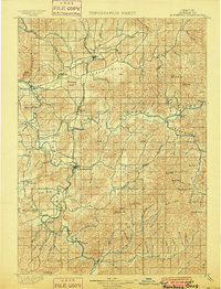
1900 · Roseburg
USGS Topo · 1:125,000
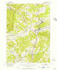
1954 · Sutherlin
USGS Topo · 1:62,500
1954 · Drain
USGS Topo · 1:62,500
1954 · Anlauf
USGS Topo · 1:62,500
1954 · Glide
USGS Topo · 1:62,500

1958 · Roseburg
USGS Topo · 1:250,000

1959 · Roseburg
USGS Topo · 1:250,000
1979 · Roseburg
USGS Topo · 1:100,000
1979 · Cottage Grove
USGS Topo · 1:100,000