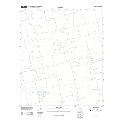
2010 Map of Noodle
USGS Topo · Published 2010About this map
Noodle sits at the heart of this Jones County landscape, where the agricultural grid of West Texas meets a late-twentieth-century industrial footprint. The terrain is defined by a network of drainage systems, most notably Sweetwater Creek in the northwest and Noodle Creek, which snakes southward toward the local oil fields. The distribution of infrastructure reveals the region's economic drivers, as farm-to-market roads like FM 1812 and FM 126 S connect the scattered homesteads to active extraction sites. Three distinct petroleum production areas are documented here: the Noodle Oil Field, the Pitzer Oil Field, and the Ball Kuehn Oil Field. This survey captures the rural character of the community, punctuated by a series of county roads such as Co RD 480 and Co RD 444 that segment the plains into large-scale ranching and drilling parcels.
Find a feature on this map
42 named features on this map. Tap any name to fly to it.
Don’t see what you’re looking for? This feature index may not catch every label — zoom into the map to look around manually.
Map Details
Editions of this 2010 Noodle Map
This is the sole edition of this map. No revisions or reprints were ever made.
Other maps of this area

1890 · Abilene
USGS Topo · 1:125,000

1891 · Anson
USGS Topo · 1:125,000

1892 · Abilene
USGS Topo · 1:125,000

1893 · Roby
USGS Topo · 1:125,000

1893 · Anson
USGS Topo · 1:125,000

1893 · Sweetwater
USGS Topo · 1:125,000

1954 · Big Spring
USGS Topo · 1:250,000

1954 · Abilene
USGS Topo · 1:250,000

1957 · Hawley
USGS Topo · 1:62,500

1957 · Merkel
USGS Topo · 1:62,500