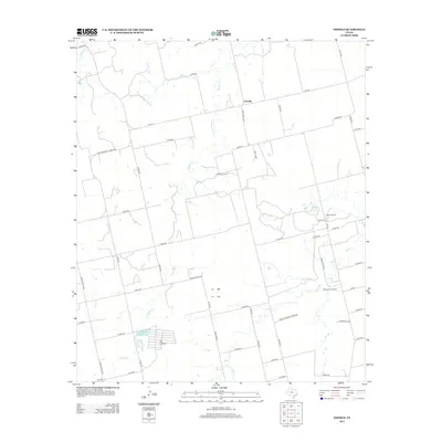
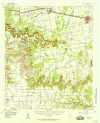
2012 Map of Noodle
USGS Topo · Published 2012About this map
Noodle sits at the heart of this West Texas landscape, defined by a sparse but organized grid of ranch roads and oil production. The map illustrates a region where agriculture and energy extraction coexist, notably at the Cal-Tex Feed Yard and scattered petroleum sites such as the Noodle Oil Field. Waterways like Noodle Cr and Bitter Cr carve through the terrain, providing essential drainage for the surrounding ranchlands.
Find a feature on this map
53 named features on this map. Tap any name to fly to it.
Don’t see what you’re looking for? This feature index may not catch every label — zoom into the map to look around manually.
Map Details
Editions of this 2012 Noodle Map
This is the sole edition of this map. No revisions or reprints were ever made.
Other maps of this area
1890 · Abilene
USGS Topo · 1:125,000
1891 · Anson
USGS Topo · 1:125,000
1892 · Abilene
USGS Topo · 1:125,000
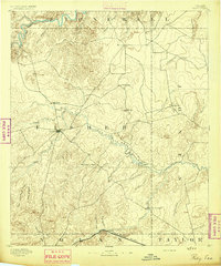
1893 · Roby
USGS Topo · 1:125,000
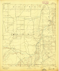
1893 · Anson
USGS Topo · 1:125,000
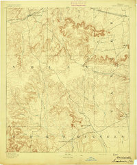
1893 · Sweetwater
USGS Topo · 1:125,000

1954 · Big Spring
USGS Topo · 1:250,000

1954 · Abilene
USGS Topo · 1:250,000
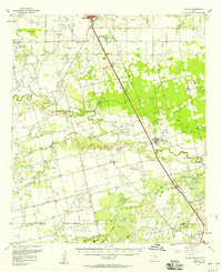
1957 · Hawley
USGS Topo · 1:62,500
1957 · Merkel
USGS Topo · 1:62,500