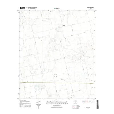
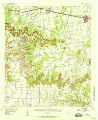
2016 Map of Noodle
USGS Topo · Published 2016About this map
Noodle is situated in a high-plains landscape defined by seasonal watercourses and a rigid grid of ranch roads. This West Texas settlement anchors a region where the Jones Co and Taylor Co boundary line bisects the southern portion of the map. The drainage network is particularly distinctive, with Noodle Cr winding vertically through the center, eventually joined by Bitter Cr and Little Bitter Cr as they flow across the rolling contours. The infrastructure of the mid-2010s is represented by a network of Farm-to-Market roads, including FM 1812, FM 126 S, and FM 605, which connect various rural homesteads and ranching operations. The terrain is relatively open, marked by subtle elevation changes that guide the flow of Sweetwater Cr in the northwest corner, illustrating the ranch-country geography of the Texas Rolling Plains.
Find a feature on this map
51 named features on this map. Tap any name to fly to it.
Don’t see what you’re looking for? This feature index may not catch every label — zoom into the map to look around manually.
Map Details
Editions of this 2016 Noodle Map
This is the sole edition of this map. No revisions or reprints were ever made.
Other maps of this area
1890 · Abilene
USGS Topo · 1:125,000
1891 · Anson
USGS Topo · 1:125,000
1892 · Abilene
USGS Topo · 1:125,000
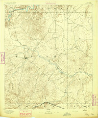
1893 · Roby
USGS Topo · 1:125,000
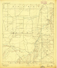
1893 · Anson
USGS Topo · 1:125,000
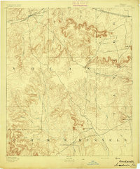
1893 · Sweetwater
USGS Topo · 1:125,000

1954 · Big Spring
USGS Topo · 1:250,000

1954 · Abilene
USGS Topo · 1:250,000
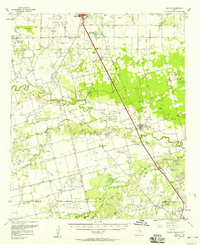
1957 · Hawley
USGS Topo · 1:62,500
1957 · Merkel
USGS Topo · 1:62,500