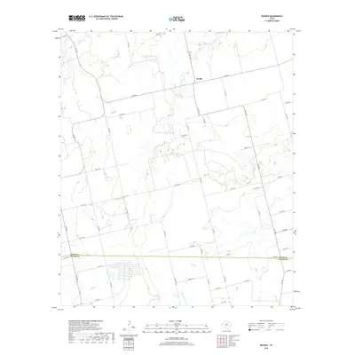
2019 Map of Noodle
USGS Topo · Published 2019About this map
Noodle sits atop a subtle divide in Jones County where the landscape is defined by the ephemeral drainage patterns of the Texas Rolling Plains. The community is the primary focal point of this rural survey, situated near the intersection of several farm-to-market roads and county routes. The terrain is marked by the winding courses of Noodle Cr and Sweetwater Cr, which carve through the dry surroundings alongside Bitter Cr and Little Bitter Cr. These waterways dictate the local geography, influencing the placement of historical throughways such as Ranch Rd and Harwell Rd. The map illustrates a contemporary rural grid where large agricultural tracts are bisected by long-established county roads, reflecting a landscape that has maintained its ranching character well into the 21st century.
Find a feature on this map
49 named features on this map. Tap any name to fly to it.
Don’t see what you’re looking for? This feature index may not catch every label — zoom into the map to look around manually.
Map Details
Editions of this 2019 Noodle Map
This is the sole edition of this map. No revisions or reprints were ever made.
Other maps of this area
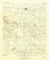
1890 · Abilene
USGS Topo · 1:125,000
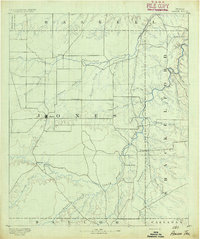
1891 · Anson
USGS Topo · 1:125,000
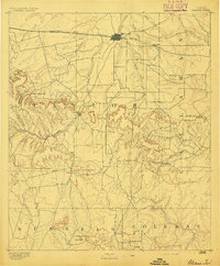
1892 · Abilene
USGS Topo · 1:125,000
1893 · Roby
USGS Topo · 1:125,000
1893 · Anson
USGS Topo · 1:125,000
1893 · Sweetwater
USGS Topo · 1:125,000
1954 · Big Spring
USGS Topo · 1:250,000
1954 · Abilene
USGS Topo · 1:250,000
1957 · Hawley
USGS Topo · 1:62,500
1957 · Merkel
USGS Topo · 1:62,500